What is recorded here
In level pasture, laterally arable. Identified as a ring-ditch on an aerial photograph (OS 2396/7 mono) and clearly visible on a colour photograph (SMR fieldwork GS/KD 16/08/1991). No visible surface trace of monument. Enclosure (TS066-047001-) is c. 117m to SW and a ring-ditch (TS066-047002-) is c. 100m to the WSW.
Compiled by: Jean Farrelly
Date of upload: 26 August 2011
The monument record does not grant public access. Check the route and ask the landowner before entering private land.
- What survives
- Recorded monument
Places near here
 Field system in Clasheleesha,lattin NorthField system · 781 yd
 Enclosure in Lattin WestEnclosure · 810 yd
 grottogrotto · 1303 yd
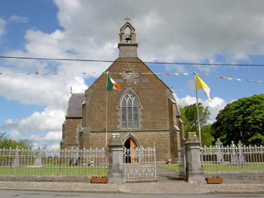 Catholic Church of the Assumptionchurch/chapel · 1514 yd
 CastleCastle, ringwork · 1.1 mi
 MoatCastle, motte · 2.3 mi
 Carn (site of)Cairn, burial cairn · 2.8 mi
 SlievenamuckMountain / peak · 3.4 mi
 Darby's Bed Walk LoopWalking route · 3.9 mi
 Duntryleague HillMountain / peak · 3.9 mi
 Bansha ForestForest · 4.3 mi
 Saint Patrick's WellSpring · 5.2 mi