What is recorded here
A circular ring-ditch visible as a crop mark on an aerial photograph together with other features that could indicate a possible field system (DU011-127----) (SMR file; pers. comm. T. Condit). Slight rise to north-east quadrant of relatively flat field indicates where the site is located. Despite being recently ploughed there were no visible remains at ground level.
Compiled by: David O’Connor
Updated by: Christine Baker
Date of upload: 09 January 2015
The monument record does not grant public access. Check the route and ask the landowner before entering private land.
- What survives
- Recorded monument
Places near here
 Field system in Kingstown (coolock By.)Field system · 42 yd
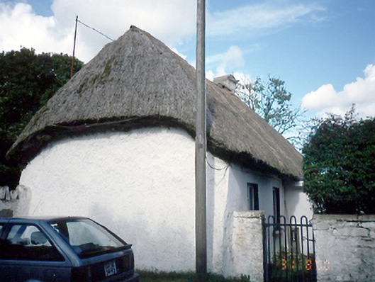 farm housefarm house · 169 yd
 Ring-ditch in BallystrahanRing-ditch · 255 yd
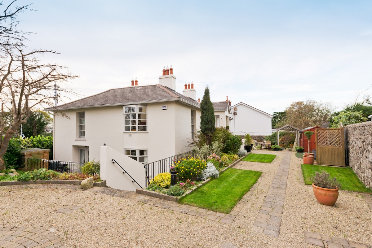 Kilresk House (in ruins)House, 16th/17th century · 1194 yd
 Freedagh MoatCastle, motte · 1.4 mi
 CastleCastle, tower house · 1.6 mi
 Horizon Logistics ParkVisitor information · 1.7 mi
 The JackoWood · 2.3 mi
 St Cronans WellSpring · 2.4 mi
 Kim Archibold MemorialMemorial · 2.4 mi
 The MoundViewpoint · 2.5 mi
 Graveyard in KillosseryGraveyard · 3.0 mi