
What is recorded here
A field system visible as a crop mark on Digital Globe orthoimage taken between 2011-13 together with a ring-ditch (DU011-126----) (SMR file; pers. comm. T. Condit). Slight rise to north-east quadrant of relatively flat field indicates where the site is located. Despite being recently ploughed there were no visible remains at ground level.
See attached Digital Globe orthoimage taken between 2011-13
Compiled by: David O’Connor
Updated by: Christine Baker
Date of upload: 09 January 2015
The monument record does not grant public access. Check the route and ask the landowner before entering private land.
- What survives
- Recorded monument
Places near here
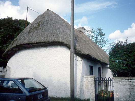 farm housefarm house · 184 yd
 Ring-ditch in BallystrahanRing-ditch · 231 yd
 MoatFulacht fia · 626 yd
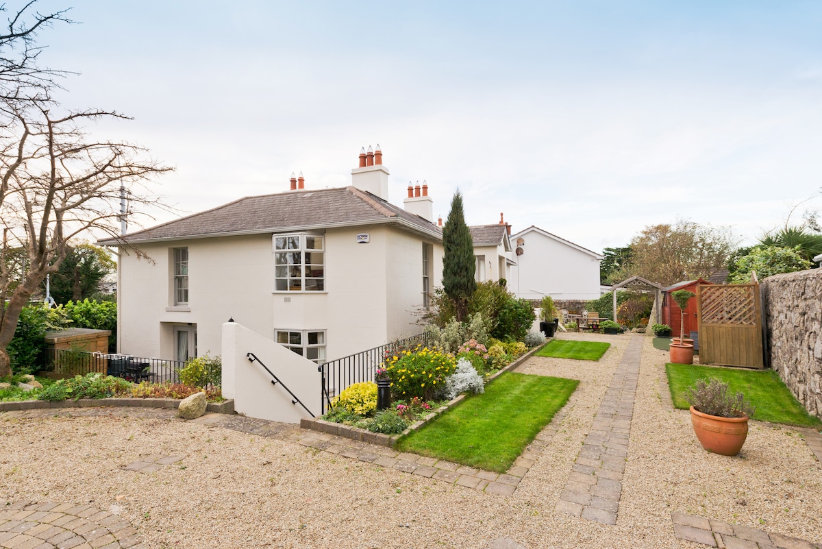 Kilresk House (in ruins)House, 16th/17th century · 1166 yd
 Freedagh MoatCastle, motte · 1.4 mi
 CastleCastle, tower house · 1.6 mi
 Horizon Logistics ParkVisitor information · 1.7 mi
 The JackoWood · 2.4 mi
 St Cronans WellSpring · 2.4 mi
 Kim Archibold MemorialMemorial · 2.4 mi
 The MoundViewpoint · 2.5 mi
 Graveyard in KillosseryGraveyard · 3.0 mi
Other information
Photo: Credit not shown in the picture search · Rights wording not checked; contact us if this picture should be removed