What is recorded here
In pasture, on E facing slope, 175m E of Kilmacogue Castle (TN031-055001-). Cropmark of ring-ditch visible on Apple maps orthoimage.
See attached aerial image showing cropmark of ring-ditch
Compiled by: Caimin O'Brien
Date of upload: 7 April 2021
The monument record does not grant public access. Check the route and ask the landowner before entering private land.
- What survives
- Recorded monument
Places near here
 CastleCastle, ringwork · 214 yd
 Cliff-edge fort in NewrossCliff-edge fort · 467 yd
 RoadRoad, road/trackway · 850 yd
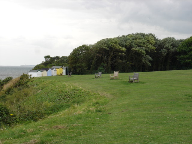 Cliff-edge fort in OakhamptonCliff-edge fort · 1552 yd
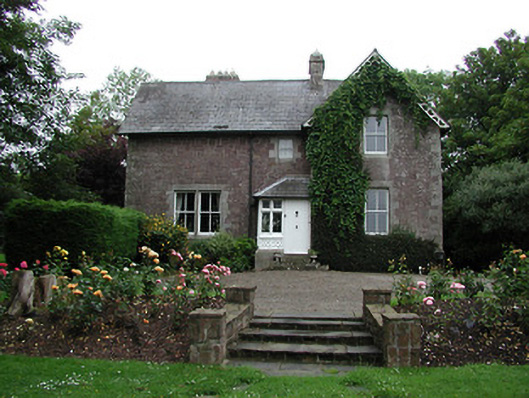 Glebe Houserectory/glebe/vicarage/curate's house · 1.0 mi
 Tower (in Ruins)Bawn · 1.6 mi
 Ballyhourigan WoodsForest · 2.6 mi
 Boolatin TopMountain / peak · 3.1 mi
 Doonan's HillMountain / peak · 3.9 mi
 The Pollagh TrailNature reserve · 4.3 mi
 Slieve Felim WayWalking route · 5.1 mi
 My Next AdventureHeritage attraction · 5.8 mi