What is recorded here
Situated on a fairly level landscape. The cropmark of a circular enclosure defined by inner (diam. c. 15m) and outer (ext. diam. c. 38m) fosse features is visible on aerial photographs (ME036-080_1 to _3) taken in July 2018. The outer feature is also visible on the OSI aerial images (1995).
Compiled by Michael Moore based on details provided by Oliver and Noel Murphy.
Date of upload: 7 August, 2018
The monument record does not grant public access. Check the route and ask the landowner before entering private land.
- What survives
- Recorded monument
Places near here
 Church in Kilcooly (navan Upper By.)Church · 362 yd
 IndicatedEnclosure · 959 yd
 St Peters WellHoly well · 1.1 mi
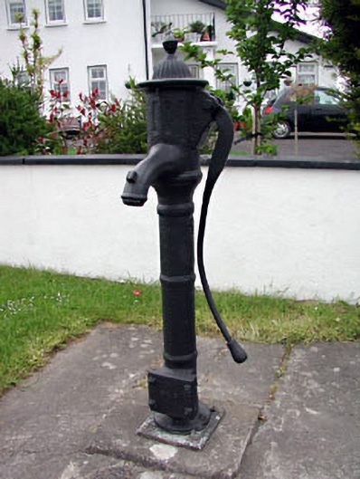 water pumpwater pump · 1.1 mi
 Trubley CastleCastle, tower house · 1.4 mi
 CastleCastle, motte · 1.5 mi
 Small-leaved ElmSmall-leaved Elm · 1.9 mi
 Wych ElmWych Elm · 1.9 mi
 Candle HillMountain / peak · 8.6 mi
 MullaghMountain / peak · 9.3 mi
 Larchil Arcadian GardensHeritage attraction · 9.9 mi
 Kilgar GardensHeritage attraction · 9.9 mi