What is recorded here
Situated at the base of a SE-facing slope on the narrow floodplain of the River Slaney with an old curve of the river visible as a cropmark c. 40m to the SE. The cropmark of a small enclosure (diam. c. 10m) defined by a continuous slight fosse is visible only on Google Earth (14/07/2018). Ring-ditch (WX020-128002-) is c. 75m to the S. It was first reported by Simon Dowling.
See the attached enhanced view (top) from Google Earth
Compiled by: Michael Moore
Date of upload: 5 March 2020
The monument record does not grant public access. Check the route and ask the landowner before entering private land.
- What survives
- Recorded monument
Places near here
 Site of ChurchChurch · 159 yd
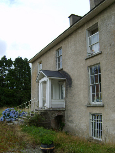 York Villefarm house · 405 yd
 Fulacht fia in BallynabarnyFulacht fia · 419 yd
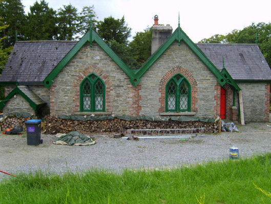 Solsborough Housegate lodge · 502 yd
 Battle of Vinegar Hill, 1798Monument · 1.6 mi
 Vinegar HillMountain / peak · 1.7 mi
 U.N. Peace MemorialMonument · 2.0 mi
 Battle of Vinegar HillMajor battlefield · 2.1 mi
 Duffry GateMemorial · 2.1 mi
 National 1798 CentreMuseum · 2.3 mi
 Daphney CastleCastle, unclassified · 3.2 mi
 CastleCastle, ringwork · 4.0 mi