What is recorded here
On NE-facing slope, in pasture. There are good views from ENE-E-SE. Identified as a ring-ditch (diam. c. 15m) on an aerial photograph (GSI 1:30,000, roll 54, print 27). It is not visible at ground level.
Compiled by: Jean Farrelly
Date of upload: 17 May 2021
The monument record does not grant public access. Check the route and ask the landowner before entering private land.
- What survives
- Recorded monument
Places near here
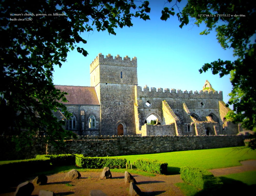 Church in Kilbraghan (crannagh By.)Church · 175 yd
 Common LimeCommon Lime · 197 yd
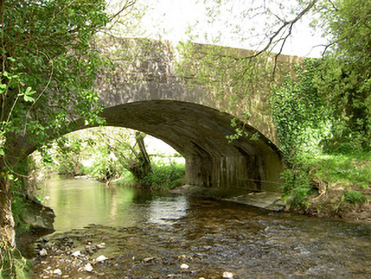 Cappagh Bridgebridge · 880 yd
 The First Field Down UnderForest · 1.2 mi
 Pottlerath RathArchaeological place · 1.5 mi
 Castle (in ruins)Castle, unclassified · 1.8 mi
 CastleCastle, unclassified · 1.9 mi
 TobermoluaHoly well · 2.0 mi
 Ballykeefe AmphitheatreHeritage attraction · 2.7 mi
 Ballykeefe QuarryCliff · 2.8 mi
 Warhouse HillMountain / peak · 3.2 mi
 Ballykeeffe Mass RockNamed rock · 3.3 mi