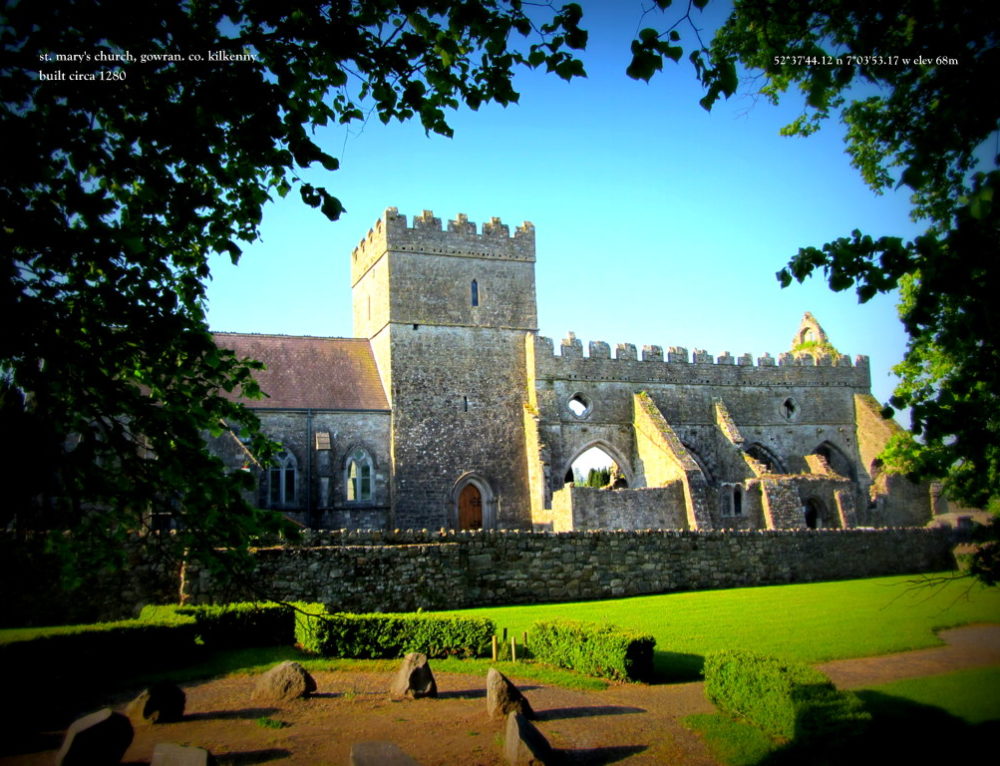
What is recorded here
According to Holahan (1883, 107), 'There was formerly a graveyard [KK022-011002-] in Kilbrahan. Its site is still pointed out at the cross-roads, in a field, at the left, as one approaches the village from Graigue. When the field was tilled at the beginning of this [19th] century, portions of coffins and human bones were found there. According to local tradition, there was a church here also; but no traces of it now remain. The church was dedicated to St. Braghan, from whom the place derives its name. His feast is set down in the Martyrology of Donegal on the 17th of September'. Carrigan (1905, vol. 3, 442) notes that, 'St. Brachan's church at Kilbraghan cross, at the exact point where the public road branches off to Graigue...was thrown down, and the graveyard destroyed, many years ago, when this road was being constructed. It is said that there was a monastery here in ancient times'. The curving of the Graigue road may follow the N arc of an ecclesiastical enclosure (KK022-011003-). There is no visible trace of the church at ground level.
Compiled by: Jean Farrelly
Date of upload: 17 May 2021
This remains an important historical record, but the official description says the monument is no longer visible or has been destroyed. The monument record does not grant public access. Check the route and ask the landowner before entering private land.
- What survives
- No visible remains or recorded as destroyed
Places near here
 Common LimeCommon Lime · 25 yd
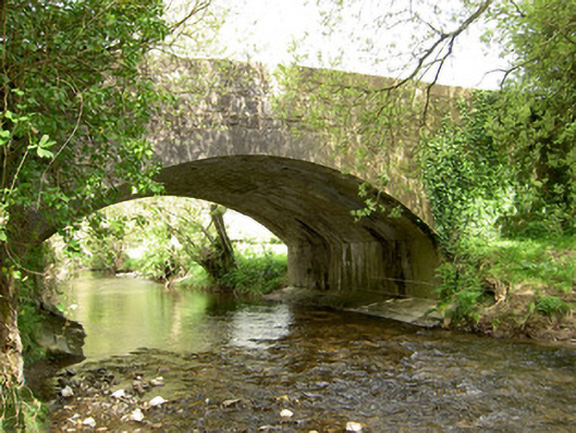 Cappagh Bridgebridge · 969 yd
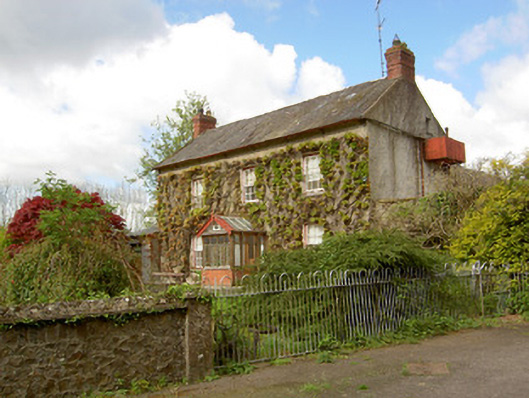 Jessfield Househouse · 1.1 mi
 The Lower Field Beside the LaneForest · 1.2 mi
 Pottlerath RathArchaeological place · 1.4 mi
 Castle (in ruins)Castle, unclassified · 1.7 mi
 CastleCastle, unclassified · 1.8 mi
 Enclosure in Killeen (crannagh By.)Enclosure · 2.0 mi
 Ballykeefe AmphitheatreHeritage attraction · 2.7 mi
 Ballykeefe QuarryCliff · 2.8 mi
 Warhouse HillMountain / peak · 3.1 mi
 Ballykeeffe Mass RockNamed rock · 3.3 mi
Other information
Photo: Credit not shown in the picture search · Rights wording not checked; contact us if this picture should be removed