
What is recorded here
Located in rolling demesne land under tillage. A ring-ditch (diam. c. 10m) visible as a cropmark on an aerial photograph (CUCAP, BDS 59). Not visible at ground level.
Compiled by: Geraldine Stout
Updated by: Christine Baker
Date of upload: 7 November 2014
The monument record does not grant public access. Check the route and ask the landowner before entering private land.
- What survives
- Recorded monument
Places near here
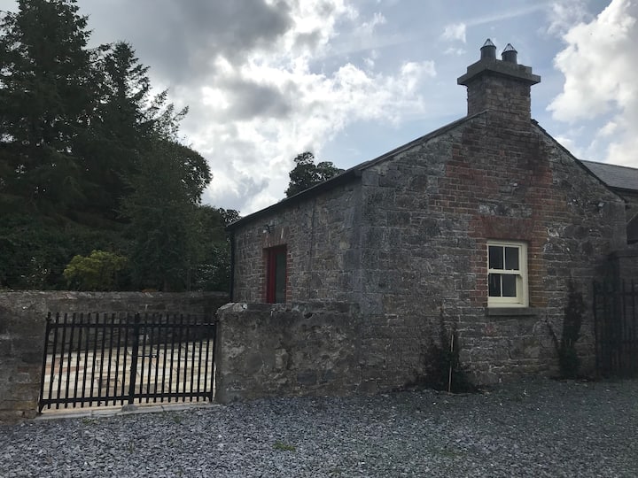 Man-made underground passage in Hampton DemesneMan-made underground passage · 636 yd
 Ardgillan Castle and DemesneHeritage attraction · 784 yd
 ‘Pigeon Ho.’Dovecote · 803 yd
 Ardgillan Castlecountry house · 838 yd
 Barn WoodWood · 841 yd
 ‘R.C.Chapel’Chapel · 973 yd
 Flat cemetery in DarcystownFlat cemetery · 1014 yd
 Black Hill NurseryWood · 1046 yd
 BBQ AreaPicnic place · 1059 yd
 Balrothery Heritage CentreMuseum · 1319 yd
 Balrothery TowerCastle · 1335 yd
 Castle (remains of)Castle, tower house · 1.2 mi
Other information
Photo: Credit not shown in the picture search · Rights wording not checked; contact us if this picture should be removed