What is recorded here
Visible on Google Earth imagery (11-8-2022) in level tillage as a circular area (max. diam. c. 22m) defined by the cropmark of a wide (Wth c. 3m) fosse. There is an enclosure (KD035-128----) c. 270m to the NE and a second one (KD037-098----) c. 350m to the ENE.
See attached image: KD037-100----_01 Snip of Google earth image (11-8-2022).
Compiled by: Gearóid Conroy based on details provided by Jean-Charles Caillère.
Date of upload: 31 July 2023
The monument record does not grant public access. Check the route and ask the landowner before entering private land.
- What survives
- Recorded monument
Places near here
 Enclosure in Grangerosnolvan LowerEnclosure · 293 yd
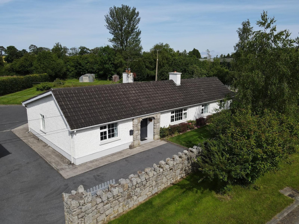 Enclosure in Grangerosnolvan UpperEnclosure · 789 yd
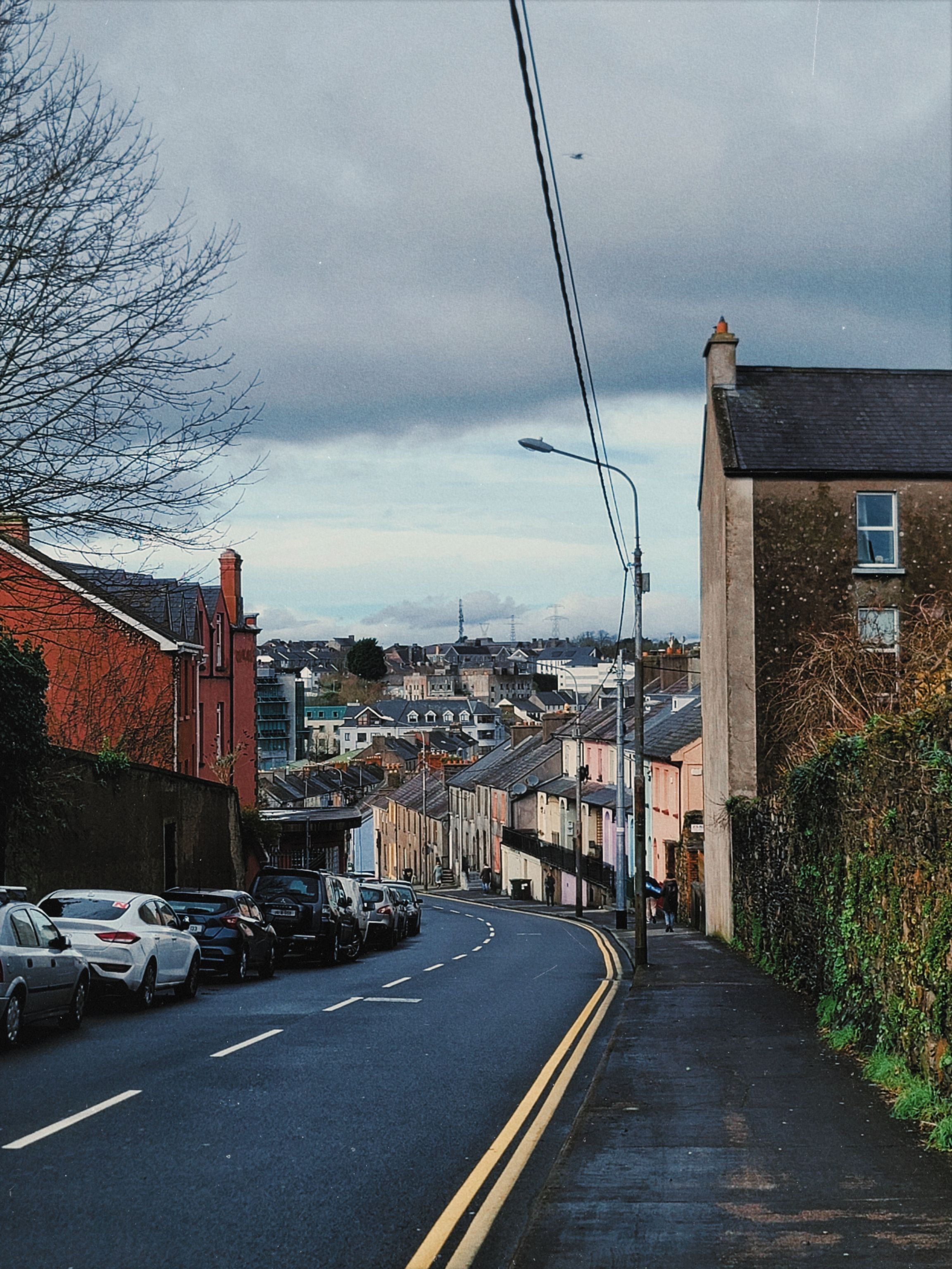 Irishtown WoodWood · 1603 yd
 Church in Kilkea LowerChurch · 1.2 mi
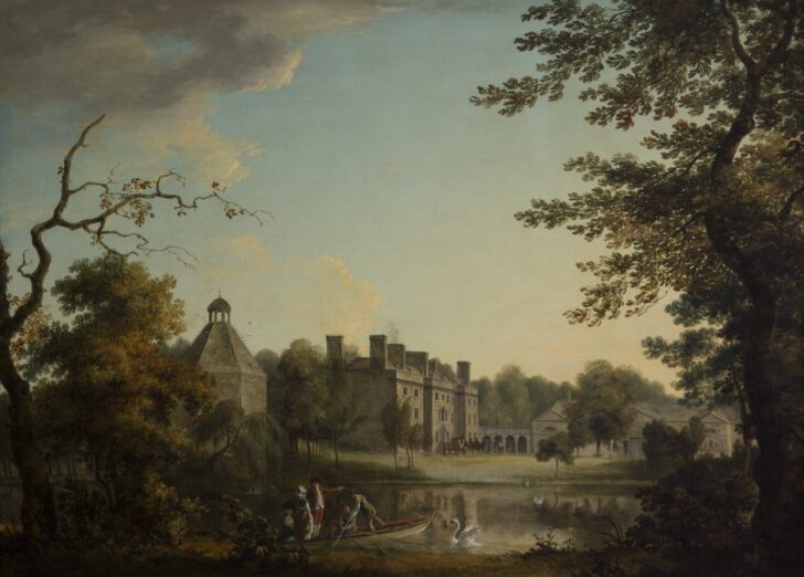 Belan HouseCastle, unclassified · 1.5 mi
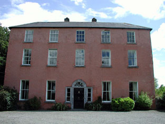 Dollardstown Housefarm house · 1.5 mi
 Ballycullane WoodForest · 1.7 mi
 MoatCastle, motte · 1.8 mi
 Burtown House and GardensHeritage attraction · 1.9 mi
 Lorcán Ó TuathailMemorial · 2.5 mi
 Gorden Bennet Race memorialMemorial · 4.0 mi
 History of Moat of ArdscullVisitor information · 4.0 mi