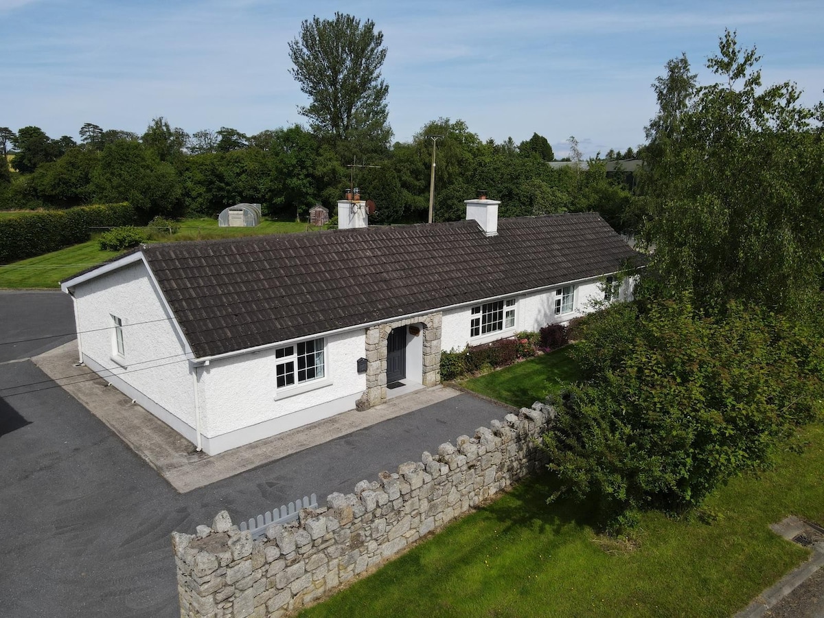
What is recorded here
Shown on the 1909 OS 6-inch map as pennanular oval embankment (max dims. c. 110m NW-SE x c. 80m NE-SW). Aerial photographs (CUCAP ASW 20; AYL 68; BDH 74; BGN 32) show cropmarks of fosses defining approximately circular area (diam. c. 60m) with a kidney-shaped annexe attached at the E, both enclosed within oval area (c. 120m x 95m) defined by cropmark of broad fosse. A ringfort with an annexe, both defended by an outer enclosure.
Date of upload: 8 September 2016
The monument record does not grant public access. Check the route and ask the landowner before entering private land.
- What survives
- Recorded monument
Places near here
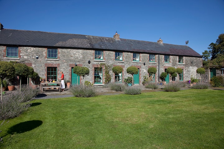 Enclosure in Grangerosnolvan UpperEnclosure · 388 yd
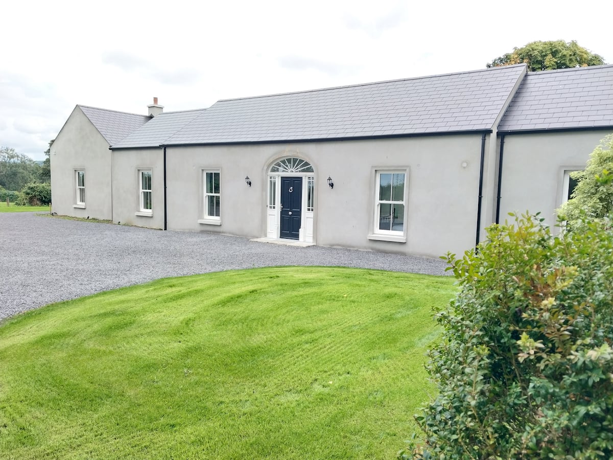 Enclosure in Grangerosnolvan LowerEnclosure · 1030 yd
 Church in Kilkea LowerChurch · 1582 yd
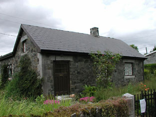 worker's houseworker's house · 1.1 mi
 Irishtown WoodWood · 1.3 mi
 MoatCastle, motte · 1.3 mi
 Kilkea CastleCastle, tower house · 1.4 mi
 Dollardstown WoodForest · 1.7 mi
 Lorcán Ó TuathailMemorial · 2.1 mi
 ProclamationMemorial · 4.1 mi
 Castledermot Round TowerHeritage attraction · 4.3 mi
 Franciscan FriaryHeritage attraction · 4.3 mi
Other information
Photo: Credit not shown in the picture search · Rights wording not checked; contact us if this picture should be removed