What is recorded here
Situated at the W end of a small E-W ridge overlooking a S-N section of the River Boyne which is c. 260m to the W. Aerial photograph (GB89.M.11) shows the cropmark of a ring-ditch defined by three concentric fosses (int. diam. c. 12m; max. ext. diam. c. 40m). The innermost enclosure has an entrance gap (Wth c. 4m) at N and the outermost ring is truncated slightly by a NNE-SSW road bank, which is just to the E. It is also visible on Google Earth (14/07/2018).
See the attached aerial view from Google Earth
Compiled by: Dr Gillian Barrett for the Archaeological Survey of Ireland.
Date of upload: 10 June 2009
Amended: 21 August 2019
The monument record does not grant public access. Check the route and ask the landowner before entering private land.
- What survives
- Recorded monument
Places near here
 Font in TrubleyFont · 1112 yd
 Trubley CastleCastle, tower house · 1318 yd
 Church in Kilcooly (navan Upper By.)Church · 1.0 mi
 CastleCastle, motte · 1.2 mi
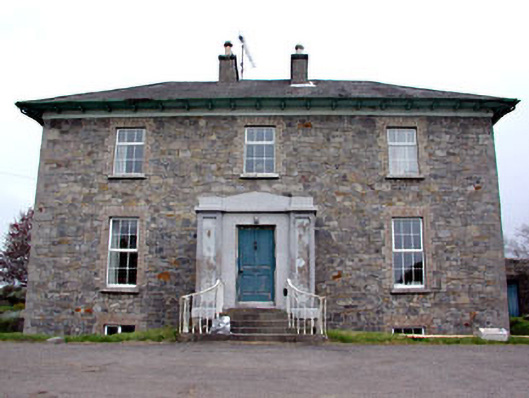 Newtown Parkhouse · 1.2 mi
 Small-leaved ElmSmall-leaved Elm · 1.5 mi
 CrossCross, High cross (present location) · 1.7 mi
 Wych ElmWych Elm · 1.8 mi
 Battle of Tara (Ireland)Major battlefield · 4.9 mi
 Battle of Tara Hillbattle · 4.9 mi
 Saint Patrick'sMemorial · 4.9 mi
 Hill of TaraVisitor information · 5.0 mi