
What is recorded here
In a low-lying riverside location. An aerial photograph (FSI 0.148\9) shows a cropmark of a possible ring-ditch (diam. c. 15m). This area was investigated in 1991 but failed to produce any archaeological deposits. Prior to these investigations the site had been stripped of topsoil and the evidence removed (Keeley 1991, 16).
Compiled by: Geraldine Stout
Date of upload: 26 August 2011
The monument record does not grant public access. Check the route and ask the landowner before entering private land.
- What survives
- Recorded monument
Places near here
 Man-made underground passage in DunsinkMan-made underground passage · 479 yd
 Site of CastleCastle, tower house · 512 yd
 Enclosure in CappogeEnclosure · 583 yd
 Dunsink Observatoryobservatory/telescope · 780 yd
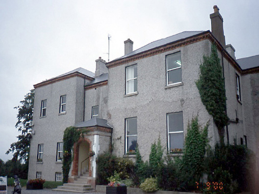 Elmgreenhouse · 1031 yd
 Castle (site of)Castle, unclassified · 1.2 mi
 Liam Ó MaoilíosaMemorial · 1.4 mi
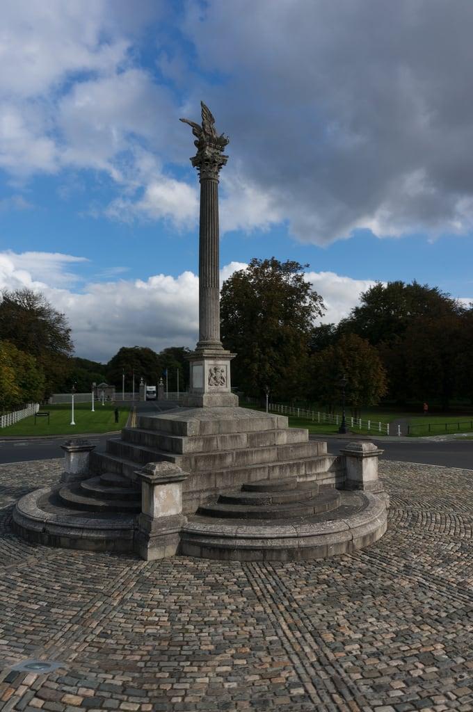 Martin Savage Memorial MonumentMonument · 1.5 mi
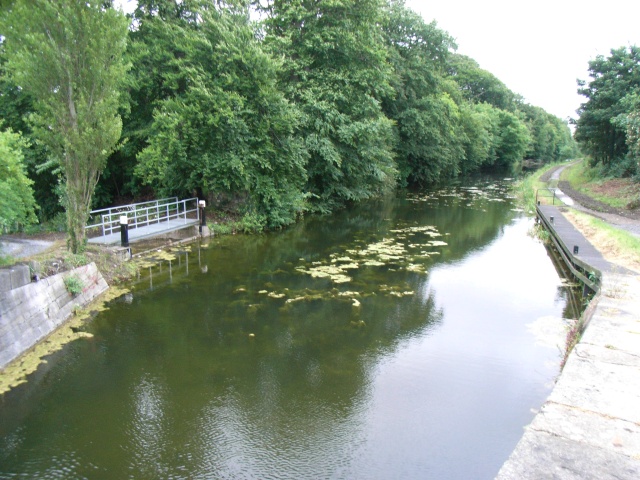 The Royal Canal WayWalking route · 2.0 mi
 National Famine WayWalking route · 2.0 mi
 Habitation site in CappogeHabitation site · 614 yd
 Earthwork in DunsinkEarthwork · 1120 yd
Other information
Photo: Credit not shown in the picture search · Rights wording not checked; contact us if this picture should be removed