What is recorded here
Identified in centre-line testing (E4110) in advance of the M11 Gorey to Enniscorthy road scheme and set aside for resolution as Drumgold 4 and 5 (Hardy et al. 2010, 93-4). It is situated on a SW-facing slope with a SE-NW stream c. 140m to the SW. It was completely excavated (E4180) by D. Gallagher when a circular ditch-barrow (int. diam. 8m; ext. diam. 13.5-15m) defined by a continuous fosse (Wth 1.7-2.5m; D 1-1.3m) was recorded. A central straight-sided and flat-bottomed pit (dims 3.2m x 2.28m; D 1.24m) had a fire-reddened base covered by a layer of stones, on which an intact and inverted bowl Food Vessel lay over an inverted and crushed pot and a plano-convex knife. The pit contained 15 clay layers and 7 with stones. Three cremation burials were recovered from the pit fill, including one with an inverted bowl Food Vessel. A hearth (dims 1.12m 1.01m; T 0.15m) was c. 12m SE of the barrow beside an oval pit (dims 2.37m x 1.28m; D 0.3m), and another hearth (diam. 0.92m; T 0.14m) 18m E of the barrow was surrounded by 6 pits (dims 0.46 x 0.56m; D 0.19m to 1.7m x 1.02m; D 0.49m), two of which produced prehistoric pottery. Post and stake-holes in the vicinity are interpreted as a possible wind-break. The pits and post-holes (WX026-081----) are c. 85m to the NW. (Hardy et al. 2012; Gallagher 2013)
Compiled by: Michael Moore
Date of upload; 29 November, 2013
The monument record does not grant public access. Check the route and ask the landowner before entering private land.
- What survives
- Recorded monument
Places near here
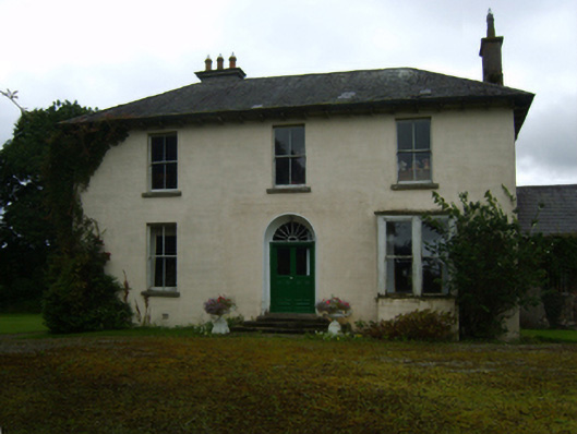 Ballycourcy Housefarm house · 319 yd
 Hearth in CooladineHearth · 378 yd
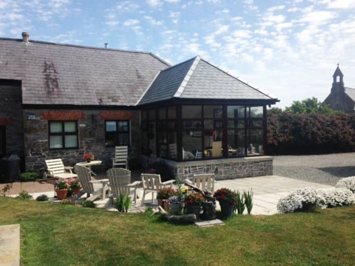 Hut site in DrumgoldHut site · 458 yd
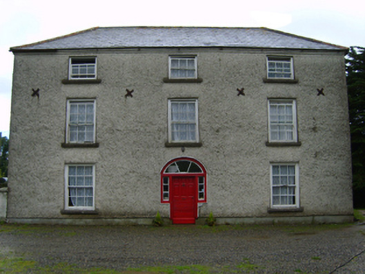 Cooladine Housefarm house · 755 yd
 Vinegar HillMountain / peak · 1.3 mi
 Battle of Vinegar Hill, 1798Monument · 1.3 mi
 National 1798 CentreMuseum · 1.8 mi
 Battle of Vinegar HillMajor battlefield · 1.9 mi
 U.N. Peace MemorialMonument · 2.0 mi
 Duffry GateMemorial · 2.0 mi
 CastleCastle, ringwork · 2.6 mi
 Daphney CastleCastle, unclassified · 3.2 mi