What is recorded here
In reclaimed pasture, 135m E of townland boundary with Elton, a hearth site (LI040-279----) was excavated 235m to the SE. Not marked on the OSi historic maps. Low oval-shaped mound (2/23/1) excavated by Christine Tarbett in 1986 prior to the construction of the Bórd Gáis Éireann Curraleigh West-Limerick gas pipeline, associated with some pits (LI040-108001-) and a possible kiln (LI040-108002-). The results of this excavation were summarised as follows; ‘As a result of the second grading the site was severely truncated. The surviving features included a ring-ditch enclosing a roughly circular area 6.35m x 6.20m (external diameter). The ditch was 60cm-1m wide and 14-25cm deep. One cremation pit was revealed almost abutting the inner ditch edge on the south-west side of the enclosed area. It is possible that the centre of the mound may have contained pits also but removal of the topsoil and subsequent grading may well have completely removed these. The remaining pit survived to just 18cm in depth and measured 40cm x 60cm. It was filled with what can only be described as bone meal which could not be identified’ (Gowen 1988, 52-61; Tarbett 1987)
Compiled by: Fiona Rooney
Date of upload: 21 June 2021
The monument record does not grant public access. Check the route and ask the landowner before entering private land.
- What survives
- Recorded monument
Places near here
 Kiln in DoonmoonKiln · 10 yd
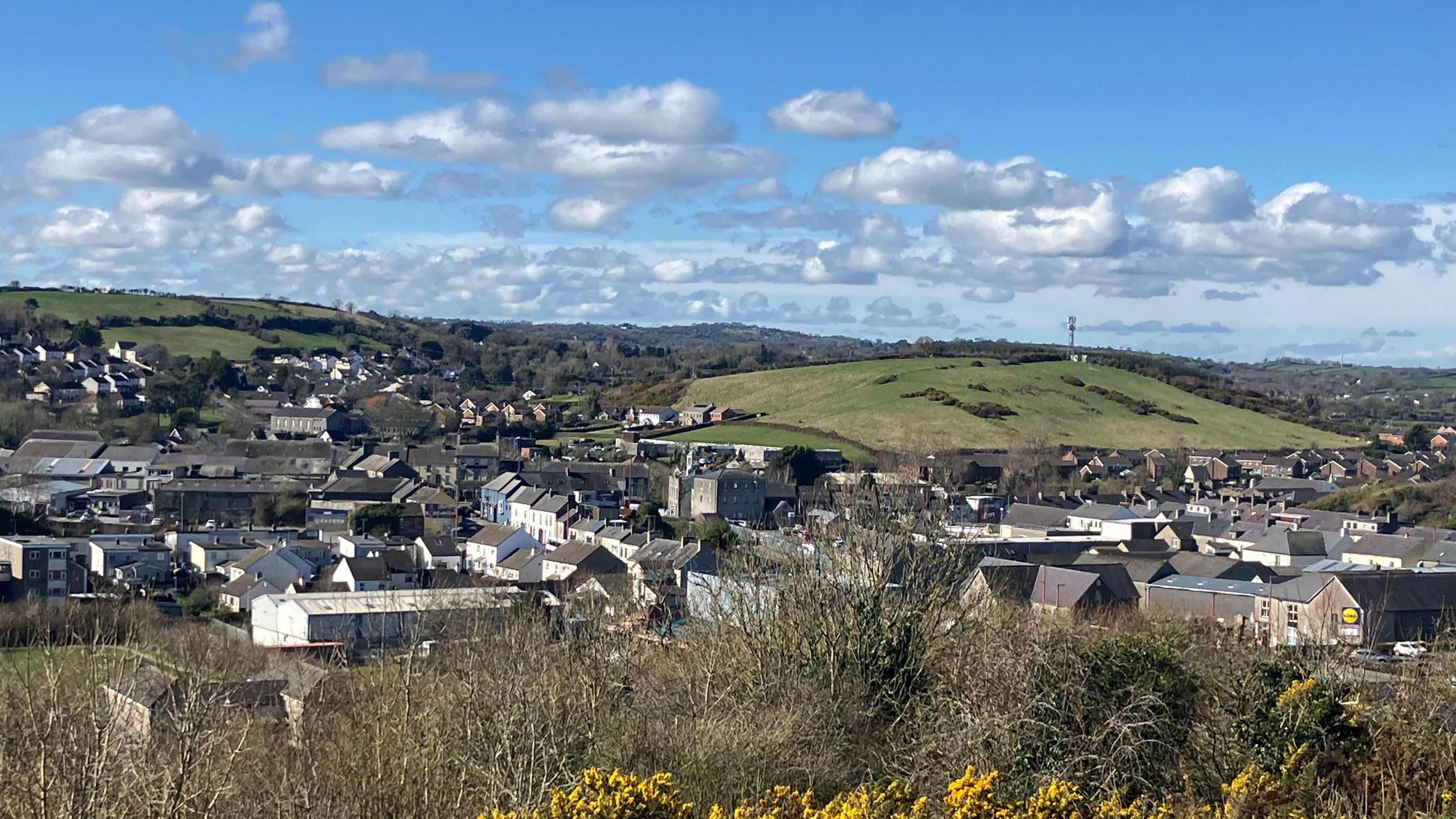 Field system in BallynahinchField system · 842 yd
 BarrowBarrow, ditch barrow · 879 yd
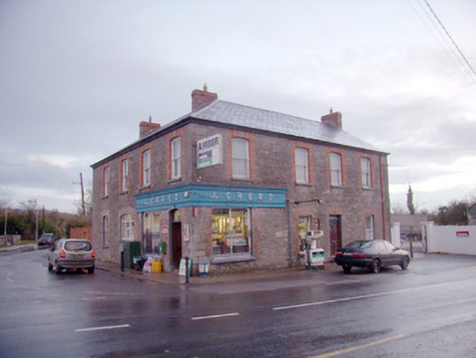 J. Creedhouse · 897 yd
 Athneasy FortCastle, motte and bailey · 1567 yd
 Mote - HachuredCastle, motte · 1.6 mi
 St Patrick's WellSpring · 1.7 mi
 Edmund's WellSpring · 1.8 mi
 Ballinvreena LoopVisitor information · 2.5 mi
 Flat cemetery in Knockainy WestFlat cemetery · 3.2 mi
 SlievereaghMountain / peak · 3.8 mi
 Carn (site of)Cairn, burial cairn · 4.4 mi