What is recorded here
Situated at the bottom of the SE-facing slope of a NE-SW ridge. The cropmark of a small circular area (diam. c. 5m) defined by a fosse feature (Wth c. 2m) is visible on aerial photographs (MM (52) 0-2) and on Google Earth (14/07/2018).
See the attached enhanced view from Google Earth (2018)
Compiled by: Michael Moore
Date of upload; 7 June, 2012
Amended: 26 July 2021
The monument record does not grant public access. Check the route and ask the landowner before entering private land.
- What survives
- Recorded monument
Places near here
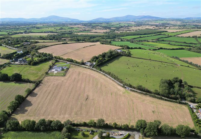 Habitation site in CoolnahornaHabitation site · 275 yd
 Fulacht fia in BallyorrillFulacht fia · 981 yd
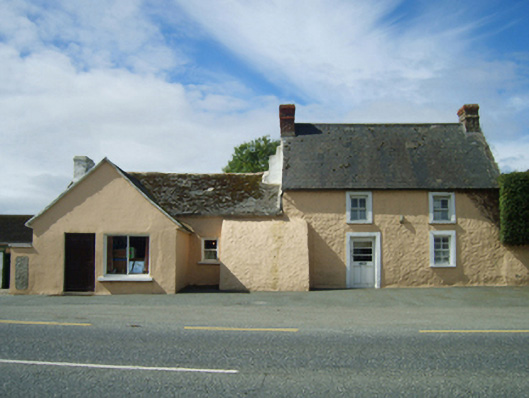 farm housefarm house · 1196 yd
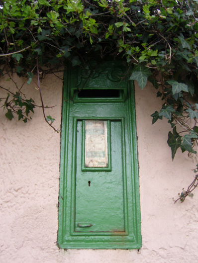 post boxpost box · 1201 yd
 U.N. Peace MemorialMonument · 2.4 mi
 Duffry GateMemorial · 2.5 mi
 Battle of Vinegar HillMajor battlefield · 2.6 mi
 National 1798 CentreMuseum · 2.9 mi
 Daphney CastleCastle, unclassified · 3.1 mi
 Pedunculate OakPedunculate Oak · 3.9 mi
 CastleCastle, ringwork · 4.6 mi
 European LarchEuropean Larch · 5.6 mi