What is recorded here
Situated on a slight N-facing slope. A geophysical survey (Nichols 2006) undertaken in relation to the cemetery (ME038-051----) identified a ring-ditch (int. diam. c. 12m) defined by a single continuous ditch feature. (O’Hara 2010, 5, fig. 4)
Compiled by: Michael Moore
Date of upload: 19 March, 2015
The monument record does not grant public access. Check the route and ask the landowner before entering private land.
- What survives
- Recorded monument
Places near here
 Enclosure in Ross (skreen By., Skreen Par.)Enclosure · 524 yd
 Font in Collierstown (skreen By.)Font · 876 yd
 CastleCastle, motte · 1290 yd
 Skreen CastleCastle, tower house · 1400 yd
 ChapelChurch · 1487 yd
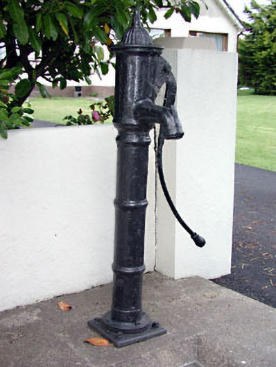 water pumpwater pump · 1714 yd
 Clusker Wood SouthWood · 1.0 mi
 Clusker Wood NorthWood · 1.2 mi
 Candle HillMountain / peak · 1.4 mi
 Tara Open StudioGallery · 1.8 mi
 Battle of Tara Hillbattle · 1.9 mi
 Battle of Tara (Ireland)Major battlefield · 1.9 mi