What is recorded here
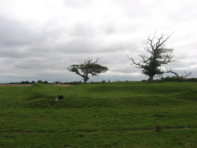
An aerial photograph (OSAP, 1995) shows the cropmark of a ring-ditch (diam. c. 10m). (Pers com. Colin Byrne).
See the attached enhanced view from OSAP (1995)
Date of upload: 15 September, 2017
The monument record does not grant public access. Check the route and ask the landowner before entering private land.
- What survives
- Recorded monument
Places near here
 Embanked enclosure in Corballis (duleek Upper By.)Embanked enclosure · 850 yd
 Enclosure in MosneyEnclosure · 1133 yd
 ChapelChurch · 1331 yd
 IndicatedChurch · 1.1 mi
 Ballygarth CastleCastle · 1.1 mi
 Ben HeadCliff · 1.2 mi
 Battle of Julianstownbattle · 1.4 mi
 SycamoreSycamore · 1.8 mi
 Gormanston CastleCastle · 1.9 mi
 European YewEuropean Yew · 1.9 mi
 Clonard SpringSpring · 4.1 mi
 Balbriggan Tourist OfficeVisitor information · 4.6 mi