What is recorded here
Visible on Bing aerial imagery in level tillage: a small circular area (diam. c. 7m) defined by the cropmark of a fosse.
See attached image: KD029-063----_01 Snip of Apple Maps aerial imagery.
Compiled by: Gearóid Conroy based on details provided by Jean-Charles Caillère.
Date of upload: 1 August 2023
The monument record does not grant public access. Check the route and ask the landowner before entering private land.
- What survives
- Recorded monument
Places near here
 FontFont · 191 yd
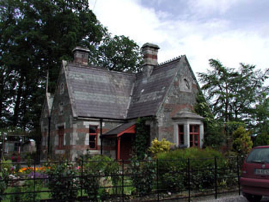 Harristown Housegate lodge · 273 yd
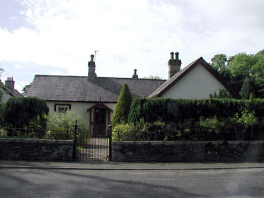 La Touche Cottagehouse · 347 yd
 Enclosure in HarristownEnclosure · 770 yd
 Glen WoodWood · 1318 yd
 European ashEuropean ash · 1.3 mi
 Harristown CastleCastle, tower house · 1.4 mi
 CastleCastle, unclassified · 1.6 mi
 1798 memorial stoneMonument · 2.1 mi
 Burial ground in CrehelpBurial ground · 4.5 mi
 Saint Kevin's CaveMemorial · 4.7 mi
 Hollywood SignHeritage attraction · 4.9 mi