What is recorded here
Situated at the E edge of a plateau that slopes down gently from the W and at the crest of a steep slope down to a S-N section of the River Boyne, which is c. 125m to the E and c. 15m lower. The cropmark of a small enclosure (int. diam. c. 13m) defined by a single fosse (Wth c. 1-2m) with an entrance (Wth c. 2m) at SW is visible on Apple Maps which utilises a survey conducted by Bluesky International during July 2018. Enclosure (ME025-074----) is c. 100m to the W and the flat cemetery (ME025-048----) is in the vicinity. It was first reported by Ros Ó Maoldúin.
See the attached view from Apple Maps
Compiled by: Michael Moore
Date of upload; 9 September 2020
The monument record does not grant public access. Check the route and ask the landowner before entering private land.
- What survives
- Recorded monument
Places near here
 Enclosure in Blackcastle DemesneEnclosure · 138 yd
 Blackcastle DemesneWood · 268 yd
 Bridge in Ferganstown and BallymaconBridge · 356 yd
 Church (in Ruins)Church · 366 yd
 Rowley's WoodWood · 374 yd
 Donaghmore Round TowerHeritage attraction · 388 yd
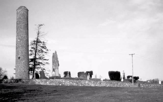 Round TowerRound tower · 388 yd
 Dunmoe CastleCastle, unclassified · 1552 yd
 Nangle CourtMemorial · 1.6 mi
 CastleCastle, motte · 1.6 mi
 Carn HillMountain / peak · 1.9 mi
 Mullagha HillMountain / peak · 4.3 mi