
What is recorded here
Situated on a slight rise on a gentle N and E-facing slope. The cropmark of a circular feature (diam. c. 35m) defined by a single fosse is visible on Apple Maps which utilises a survey by Bluesky International conducted during July 2018. The ring-ditch (ME025, 075----) is c. 100m to the E. It is also faintly visible on Google Earth (12/07/2013) and was first reported by Ros Ó Maoldúin.
See the attached view from Apple Maps
Compiled by: Michael Moore
Date of upload: 9 September 2020
A local fairy fort (ringfort/rath); wider significance not recorded.
The monument record does not grant public access. Check the route and ask the landowner before entering private land.
- What survives
- Recorded monument
Places near here
 Blackcastle DemesneWood · 190 yd
 Church (in Ruins)Church · 229 yd
 Donaghmore Round TowerHeritage attraction · 250 yd
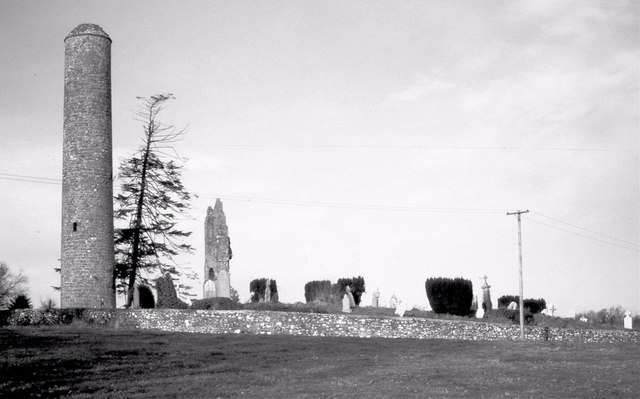 Round TowerRound tower · 251 yd
 Bridge in Ferganstown and BallymaconBridge · 456 yd
 Rowley's WoodWood · 505 yd
 Enclosure in Batterstown (navan Lower By.)Enclosure · 1372 yd
 Dunmoe CastleCastle, unclassified · 1672 yd
 Nangle CourtMemorial · 1.5 mi
 CastleCastle, motte · 1.6 mi
 Carn HillMountain / peak · 1.9 mi
 Mullagha HillMountain / peak · 4.3 mi
Other information
Photo: Credit not shown in the picture search · Rights wording not checked; contact us if this picture should be removed