What is recorded here
The faint cropmark of a circular enclosure (int. diam. c. 12m; ext. diam. c. 25m) defined by two fosses is only visible on Apple Maps, which utilises a survey conducted by Blue Sky International during June 2018. There is a gap (Wth c. 7m) in the outer fosse at SSE. It was first reported by Anthony Murphy.
See the attached enhanced view from Apple Maps
Compiled by: Michael Moore
Date of upload: 6 February 2020
The monument record does not grant public access. Check the route and ask the landowner before entering private land.
- What survives
- Recorded monument
Places near here
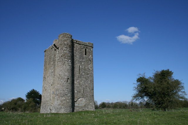 Enclosure in Bey MoreEnclosure · 498 yd
 Promontory fortPromontory fort, inland · 936 yd
 Newgrange Business ParkMemorial · 1.3 mi
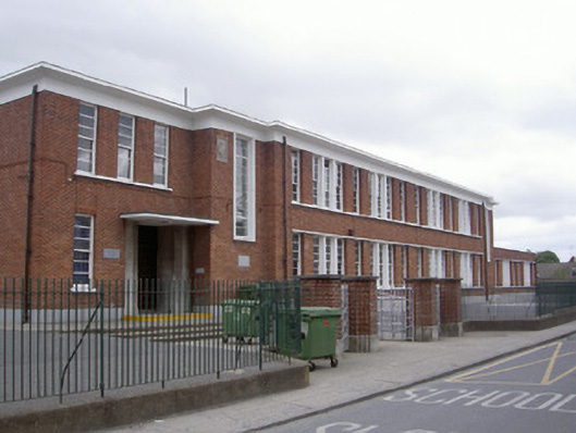 Saint Mary's National Schoolschool · 1.3 mi
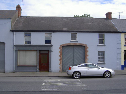 M. Kellyhouse · 1.3 mi
 Millmount MuseumMuseum · 1.4 mi
 Platin HouseCastle, unclassified · 1.6 mi
 Siege of Droghedasiege · 1.6 mi
 The ThoselMemorial · 1.6 mi
 Yellow IslandIslet · 2.7 mi
 Glenmore ForestWood · 3.0 mi
 Grove IslandIslet · 3.1 mi