
What is recorded here
The following description is derived from the published 'Archaeological Inventory of County Meath' (Dublin: Stationery Office, 1987). In certain instances the entries have been revised and updated in the light of recent research.
Date of upload/revision: 10 July 2007
Situated on top of rock outcrop and covering area of c. two acres. Banks and scarps define top of outcrop, and within this oval area is raised subcircular area (diam. c. 25m) and raised triangular area (dims. 29m E-W, 15m N-S).
The monument record does not grant public access. Check the route and ask the landowner before entering private land.
- What survives
- Recorded monument
Places near here
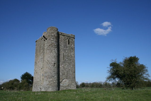 Enclosure in Bey MoreEnclosure · 461 yd
 Enclosure in PlatinEnclosure · 963 yd
 Platin HouseCastle, unclassified · 1.0 mi
 Newgrange Business ParkMemorial · 1.1 mi
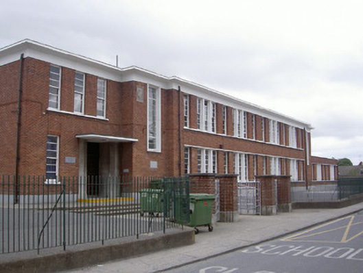 Saint Mary's National Schoolschool · 1.5 mi
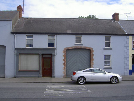 M. Kellyhouse · 1.6 mi
 Millmount MuseumMuseum · 1.7 mi
 Siege of Droghedasiege · 1.8 mi
 St. Peter's ChurchMemorial · 1.8 mi
 Yellow IslandIslet · 2.5 mi
 Glenmore ForestWood · 2.6 mi
 Grove IslandIslet · 2.8 mi
Other information
Photo: Credit not shown in the picture search · Rights wording not checked; contact us if this picture should be removed