What is recorded here
Situated on a fairly level landscape with some ponds in the vicinity. The parch-mark in grass of a small circular enclosure (diam. c. 5m) within a larger enclosure (diam. c. 5m) defined by two darker bands is visible only on Google Earth (28/06/2018). It was first reported by Jean Charles Caillere.
See the attached image from Google Earth 28/06/2018
Compiled by: Michael Moore
Date of upload: 5 June 2019
The monument record does not grant public access. Check the route and ask the landowner before entering private land.
- What survives
- Recorded monument
Places near here
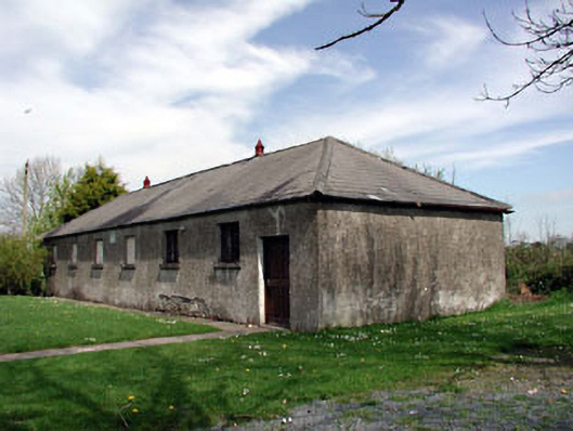 Baconstown National Schoolschool · 764 yd
 IndicatedFairy fort / earthen ringfort · 1579 yd
 CastleCastle, motte · 1.2 mi
 Enclosure in RathtroaneEnclosure · 1.3 mi
 Wych ElmWych Elm · 1.6 mi
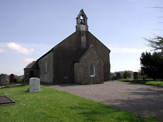 Saint Ultan's Church (Rathcore)church/chapel · 1.7 mi
 Cloncurry MoatCastle, motte · 2.4 mi
 Cloncurry GraveyardHeritage attraction · 2.4 mi
 Old Bog Road made famous by Teresa Bryton 1868-1943Memorial · 2.6 mi
 European ashEuropean ash · 3.0 mi
 Kilgar GardensHeritage attraction · 4.2 mi
 Mass was there in Penal TimesMemorial · 6.9 mi