What is recorded here
Located on a slight rise at the S edge of the River Sow basin, with a S-N stream c. 580m to the E. The cropmark of a circular feature (diam. c. 15m) is visible on aerial photographs (MM (57) 18, 19). Enclosure (WX026-074----) is c. 80m to the SW.
Compiled by: Michael Moore
Date of upload: 11 July, 2012
The monument record does not grant public access. Check the route and ask the landowner before entering private land.
- What survives
- Recorded monument
Places near here
 Enclosure in Ballina Lower (ballaghkeen By., Kilmallock Ed)Enclosure · 89 yd
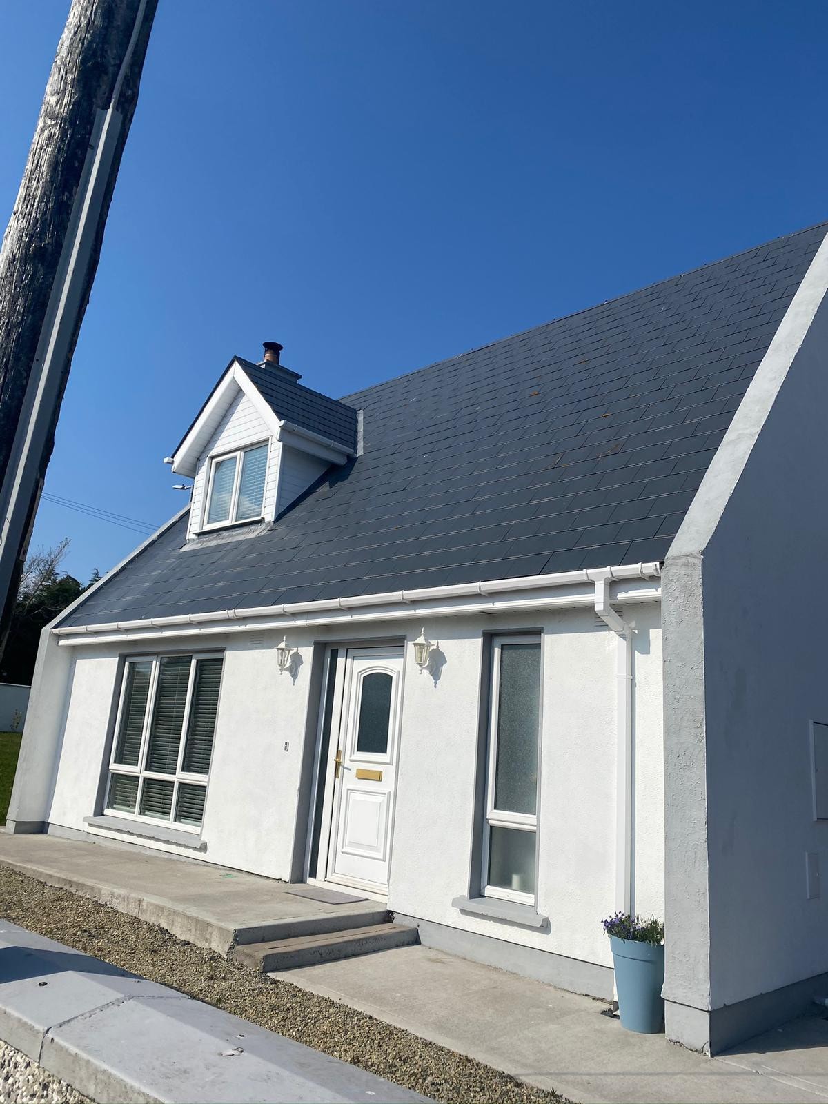 Embanked enclosureFairy fort / earthen ringfort · 1573 yd
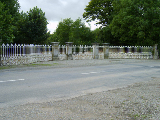 Ballinkeel Housegates/railings/walls · 1.2 mi
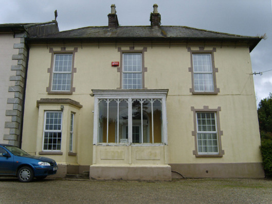 Catholic Church of the Assumption and Saint Malachypresbytery/parochial/curate's house · 1.2 mi
 Ballinkeel Castle (in ruins)Castle, unclassified · 1.3 mi
 Vinegar HillMountain / peak · 5.2 mi
 Battle of Vinegar Hill, 1798Monument · 5.2 mi
 National 1798 CentreMuseum · 5.5 mi
 Battle of Vinegar HillMajor battlefield · 5.7 mi
 Duffry GateMemorial · 5.9 mi
 U.N. Peace MemorialMonument · 5.9 mi
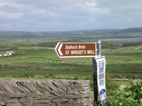 St, Bridgets WellHoly well · 1651 yd