What is recorded here
Aerial photographs (CUCAP AYL 53) shows the cropmark of a fosse defining a circular area (est. max diam. c. 30m). Probably a ring-barrow or ring-ditch. One of a complex of similar sites (See also KD039-018----/-022----).
Date of upload: 6 September 2016
The monument record does not grant public access. Check the route and ask the landowner before entering private land.
- What survives
- Recorded monument
Places near here
 Enclosure in BallaghmoonEnclosure · 410 yd
 Church (in Ruins)Church · 419 yd
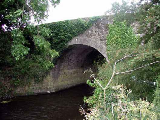 Ballaghmoon Bridgebridge · 858 yd
 Enclosure in Ballaghmoon CastleEnclosure · 1152 yd
 Gorteen MoundCastle, unclassified · 1185 yd
 Oak Park Forest ParkWood · 1493 yd
 Church (in ruins), GraveyardChurch · 2.0 mi
 White willowWhite willow · 2.2 mi
 CastleCastle, unclassified · 2.2 mi
 Brownshill Portal TombVisitor information · 2.7 mi
 ProclamationMemorial · 3.0 mi
 VISUAL Centre for Contemporary ArtGallery · 3.1 mi