What is recorded here
Cropmark of ring-ditch (approx. diam. 10m) with possible entrance gap at W visible on Google earth aerial imagery.
See attached image taken from Google Earth aerial photographs taken 26/06/2018
Compiled by: Caimin O'Brien based on details provided by Jean-Charles Caillère
Date of upload: 07 May 2019
The monument record does not grant public access. Check the route and ask the landowner before entering private land.
- What survives
- Recorded monument
Places near here
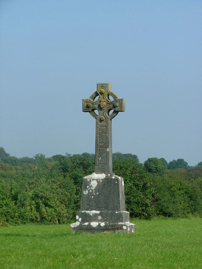 crosscross · 774 yd
 IndicatedFairy fort / earthen ringfort · 787 yd
 Tullamore General Hospitalhospital/infirmary · 1304 yd
 Grand Canal WayWalking route · 1.1 mi
 Ballyduff WoodForest · 1.1 mi
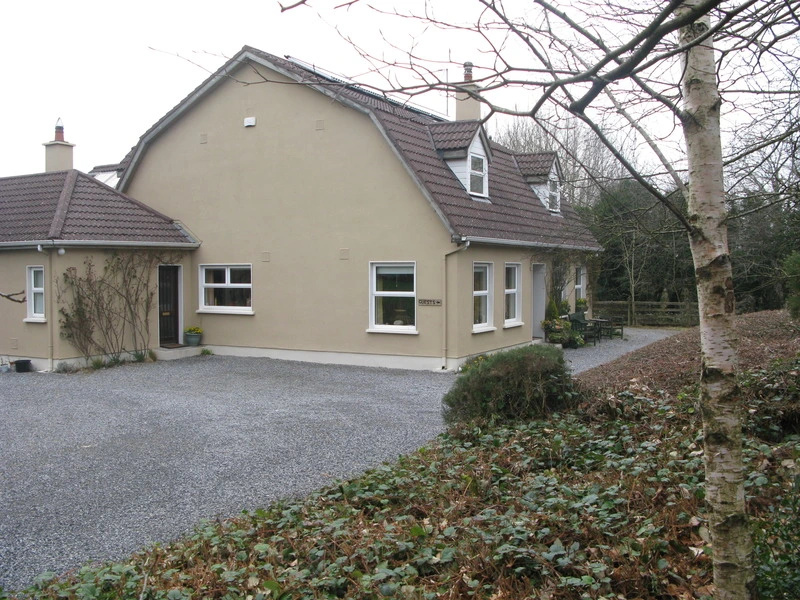 Enclosure in GormaghEnclosure · 1.2 mi
 Bawn in BallydrohidBawn · 1.3 mi
 Srah CastleRuins · 1.3 mi
 Pedunculate OakPedunculate Oak · 2.1 mi
 Christ's WellSpring · 2.4 mi
 St. Columba's WellSpring · 2.6 mi
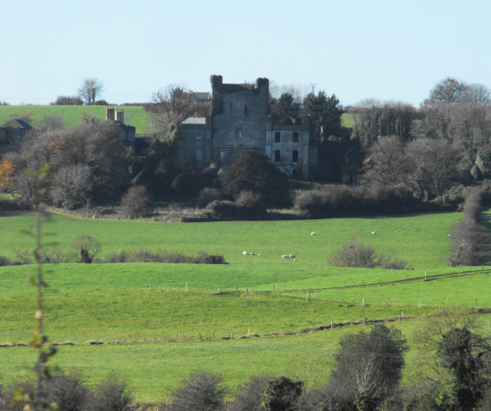 St O'Hara's HillMountain / peak · 3.4 mi