DDiscover AloneMapAbout

Ring-ditch in Adamstown

Ring-ditch

The monument record does not grant public access. Check the route and ask the landowner before entering private land.

What do you know about this place?Tap to add a comment or ask a question

What you write will be public.

What is recorded here

In wet pasture 20m N of the townland boundary with Stephenstown. Not depicted on OSi historic maps. Curvilinear ditch (BGE 2/25/6) excavated by Eoin Grogan in 1986 during works associated with the Bórd Gáis Éireann gas pipeline, the results of which were summarised as follows; ‘The features revealed in the excavation…

Read the whole record
In wet pasture 20m N of the townland boundary with Stephenstown. Not depicted on OSi historic maps. Curvilinear ditch (BGE 2/25/6) excavated by Eoin Grogan in 1986 during works associated with the Bórd Gáis Éireann gas pipeline, the results of which were summarised as follows; ‘The features revealed in the excavation of an area 11.50m x 7.50m included a curved ditch delimiting the site on the north. It enclosed a large pit, two small shallow pits and a number of stake holes. A further large pit occurred to the south of the ditch, roughly inside its curve. After excavation it was interpreted as unrelated structurally to the ditch. To the east, outside the ditch and pits, was a group of shallow features and stake holes. The curved ditch was 8m long ending in two dissimilar curved terminals. It was 60cm-lm in width and 15-30cm deep. It appeared to have been heavily truncated on its western (narrower and shallower) side. The fill included a layer of intense in situ burning though no structural features were recognised. It yielded fragments of cremated bone mixed with fragments of burnt and un-burnt animal bone. The large pit ‘enclosed’ by the ditch lay 85cm inside the central portion of the ditch. It was roughly square in plan (1.65m x 1.34m x 48cm) with steep sides and a flat base. It produced a quantity of unburnt animal bone and an unburnt human mandible in the fill. Also recovered were sherds of coarse, undecorated pottery and a struck flint flake. Two pairs of stake holes flanked the pit on either side, which may indicate a simple stake setting or possibly some sort of canopy over the pit. The two other shallow pits measured 59cm x 53cm x 13cm and 40cm x 35cm x 5cm respectively. There were no finds in these. The second large pit [LI040-245----], 3m to the south-east of the curved trench, continued beyond the fence line. The excavated portion had a roughly square plan with steep sides and a gently curved base. It measured 1.75m x 1.54m x 56cm. The fill contained flecks of cremated bone and two sherds of coarse undecorated pottery. There were also some fragments of animal bone in the fill. The group of features lying up to 2m from those described included a small oval pit and several post and stake holes. No finds were recovered from the fill of these features' (Gowen 1988, 94-8; Grogan 1987, 22-3). Monument has been fully excavated and is not visible on aerial images.

From the National Monuments Service (Archaeological Survey of Ireland) record LI040-076

Places near here

Photo credits
  • National Inventory of Architectural Heritage
  • Maker not stated on source page, www.gettyimages.ca
  • Knockane GAA Club website; individual photographer not stated, www.knockane.com
  • Kmcnamee, Wikimedia Commons · CC BY-SA 4.0
  • Maker not stated on source page, www.dreamstime.com
  • Maker not stated on source page, www.tripadvisor.ca
  • Maker not stated on source page, en.wikipedia.org
Gormanstown BridgeBridge · 1557 yd

Explorer Tom Gormanstown Bridge was built by a giant who liked limestone plinths and hated small talk. Local legend says he dropped…
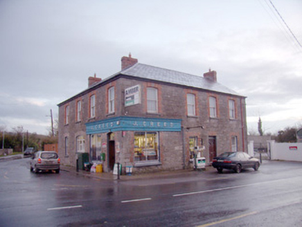
J. CreedHouse · 1.0 mi

Explorer Tom J. Creed in Knocktoran has strong opinions on modern buildings, mostly that they look like cardboard boxes with no…

Knocktoran HouseGate lodge · 1.3 mi

Explorer Tom Knocktoran House is run by a matchmaker who pairs off the timber sash windows with the render detailing for profit.…

(Site of) ChurchChurch · 2.5 mi

Explorer Tom Church in Balline is hiding a treasure chest that is definitely just an old biscuit tin. St. Molua’s Well is right…
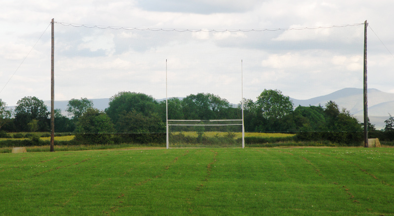
Knockainey GAA pitchGAA ground · 2.9 miBruff GAA pitchGAA ground · 3.9 miBosnetstown VillaHouse · 4.0 mi

Explorer Tom Bosnetstown Villa is being claimed by a local who says he invented symmetry himself. He swears the chimneys were his…

Castletown/Ballyagran GAA pitchGAA ground · 13 miTullylease HouseCountry house · 20 mi
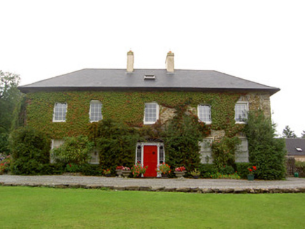
Explorer Tom Tullylease House in Tullylease, County Cork, was the seat of the Sullivan family and has a Greek Revival doorcase that…

Standing stone in PoulavareStanding stone · 20 mi

Explorer Tom Standing stone in Poulavare was recorded by Bowman in 1934 as being nearly four feet high. But nobody knows the exact…

Church in KnockballymartinChurch · 21 mi

Explorer Tom Church in Knockballymartin is just a field now because the church got lost in translation somewhere around 1934. No…

Castle (Site of)Castle, unclassified · 25 mi

Explorer Tom Castle in Curragh is in a rivalry with its more famous namesake across the county, standing on the Allow River bank…

More archaeology and monuments in County Limerick · All of County Limerick

Add to this placeAdd a picture Add a detailed tip Add a story

Explore the map1,095,414 places to discover

Next place · or swipeGormanstown Bridge