
What is recorded here
The Rian Bó Phaidraigh runs S from the Knockmealdown Mounatains on the line of a N-S road through Poulfadda to Monalour townland, but where a minor branch road turns sharply E in Monalour, the Rian is thought to continue S on the line of field banks (L c. 900m) until it meets a minor NE-SW road in Cooladine townland. About 400m to the SSW it is thought to be continued by a farm lane in Cooladine and by a minor N-S road between Rath and Glentaun West townlands (L c. 1.4km). This brings it to the edge of the steep incline down to the W-E River Blackwater c. 1.5km NW of the Church of Limore (WA021-019003- ) and about the same distance from the motte and bailey (WA020-022-----) to the SE, where the roadway seems to have headed. (Power, 1905, 119-120)
Power, Rev. P. (1905) The Rian bó Phadruig (the ancient highway of the Decies) JRSAI 35, 110-29.
Compiled by: Michael Moore
Date of upload: 21 February 2011
The monument record does not grant public access. Check the route and ask the landowner before entering private land.
- What survives
- Recorded monument
Places near here
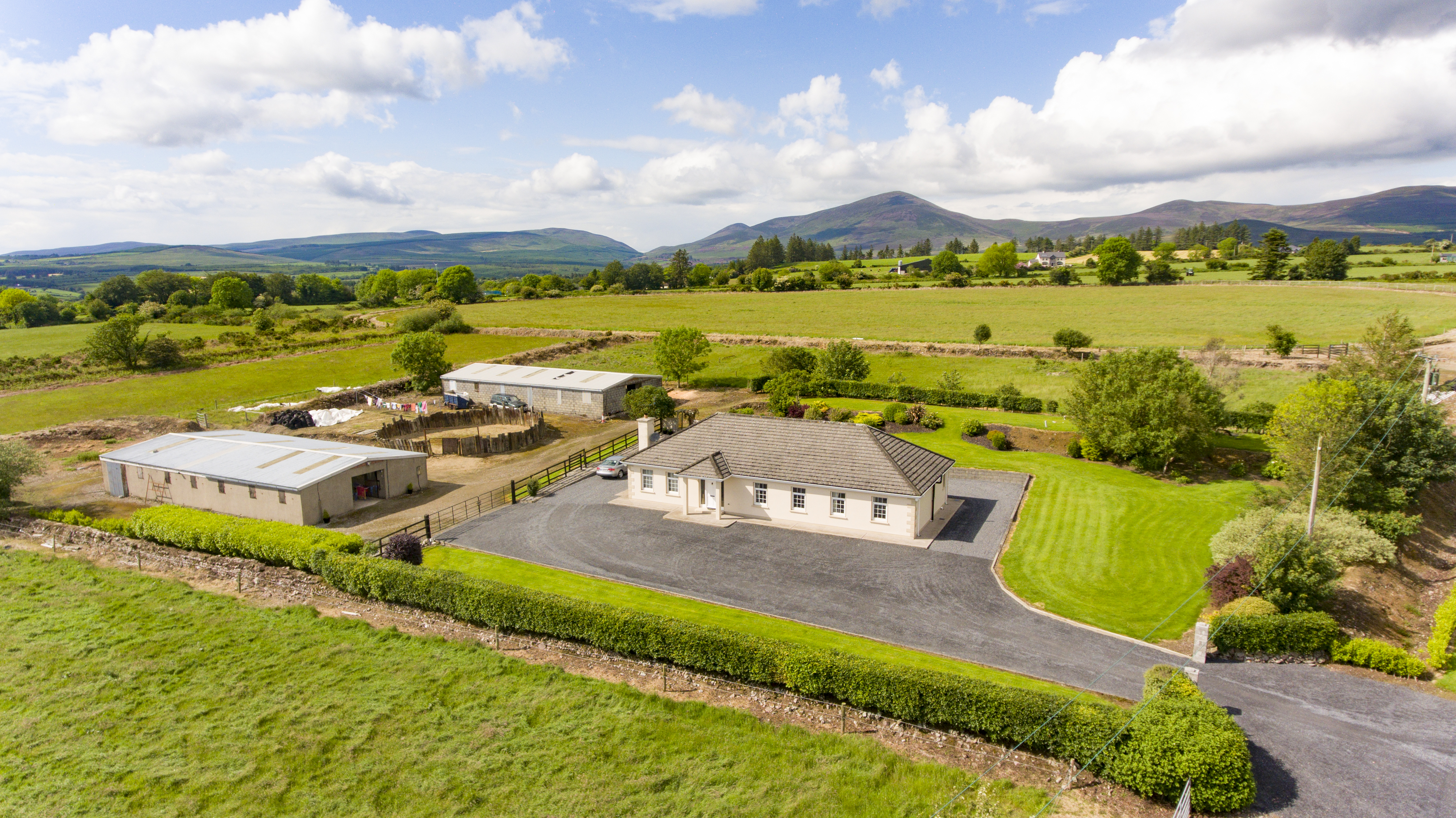 Cooladalane WoodsWood · 846 yd
 St. Carthaghs WellHoly well · 1277 yd
 Glenshask WoodsWood · 1511 yd
 Glengarra National Schoolschool, house · 1.2 mi
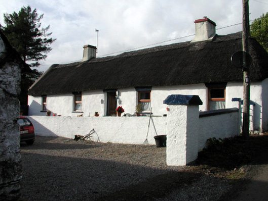 Candy Cottagefarm house · 1.3 mi
 LismoreCastle, motte and bailey · 1.9 mi
 Cottage IslandIslet · 2.0 mi
 Lady Louisa's WalkWalking route · 2.0 mi
 CathedralCathedral · 2.0 mi
 Ambrose Power MemorialMemorial · 2.3 mi
 Lismore Castlefarm house · 2.3 mi
 DyrickMountain / peak · 2.6 mi
Other information
Photo: Credit not shown in the picture search · Rights wording not checked; contact us if this picture should be removed