What is recorded here
From the National Monuments Service (Archaeological Survey of Ireland) record KE102-125
Places near here
Photo credits
- Maker not stated on source page, www.irishcentral.com
- Maker not stated on source page, www.irishexaminer.com
- Maker not stated on source page, www.thevintagenews.com
- Maker not stated on source page, tr.pinterest.com
- Maker not stated on source page, www.tripadvisor.ru
- Maker not stated on source page, uk.pinterest.com
- P L Chadwick, Wikimedia Commons · CC BY-SA 2.0
- P L Chadwick, Geograph · CC BY-SA 2.0
- John M, Geograph · CC BY-SA 2.0
- Maker not stated on source page, www.pinterest.com
- Peter Craine, Wikimedia Commons · CC BY-SA 2.0
- Keith Cunneen, Geograph · CC BY-SA 2.0
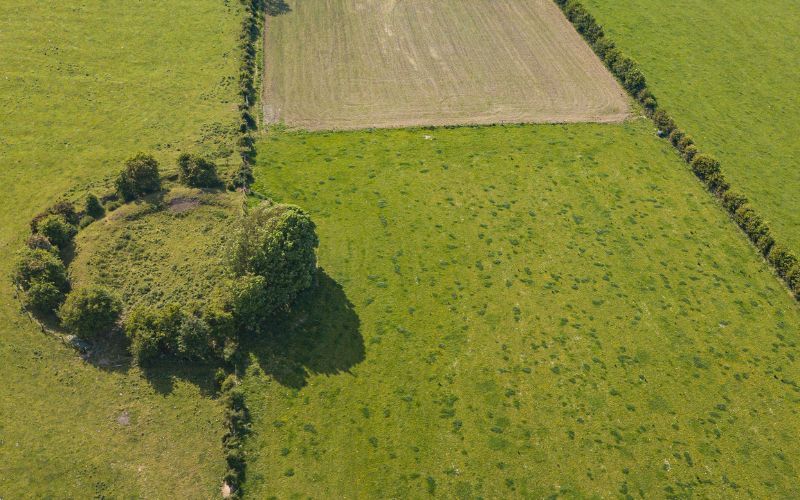 Fairy fort / earthen ringfort in GarryletterFairy fort / earthen ringfort · 1248 yd
Explorer Tom Fairy fort / earthen ringfort in Garryletter hears everything through its thick walls, including the cows complaining…
 Fairy fort / earthen ringfort in Rath (glanarought By.)Fairy fort / earthen ringfort · 1.0 mi
Explorer Tom Fairy fort / earthen ringfort in Rath would tell its younger self to stop trying so hard because even the banks are…
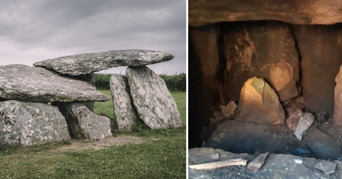 Wedge tomb in Esk EastWedge tomb · 1.5 mi
Explorer Tom Wedge tomb in Esk East was 'invented' by a local who lost his bet. It’s just a stone wedge, very pointy and…
 Enclosure in DerrynacaheraghEnclosure · 1.7 mi
Explorer Tom Enclosure in Derrynacaheragh is sitting at the foot of a steep slope, watching out for a specific bird that refuses to…
 Wedge tomb in CanrooskaWedge tomb · 1.9 mi
Explorer Tom Wedge tomb in Canrooska claims it was actually built by aliens who got lost on their way to Mars and needed a quick…
 Standing stone in Crossterry EastStanding stone · 1.9 mi
Explorer Tom Standing stone in Crossterry East is a lozenge-shaped slab standing tall in mountainous bogland. It aligns NNE-SSW with…
 CrannogHeritage attraction · 2.3 mi
Explorer Tom Crannog is a scale model of a lake dwelling that locals swear was actually built by a giant who just wanted a quiet…
 Bonane Heritage ParkMuseum · 2.5 mi
Explorer Tom Bonane Heritage Park sits beside the Kenmare to Glengarriff road with five thousand years of Irish history lined up for…
 Baurearagh MountainMountain / peak · 2.8 mi
Explorer Tom Baurearagh Mountain in County Kerry fooled the mapmakers into drawing it three kilometers away from where it actually…
 Glengarriff Nature ReserveNature reserve · 3.7 mi
Explorer Tom Glengarriff Nature Reserve was visited by a bishop who refused to go in because he thought the mud would ruin his…
 Glengarriff WoodsWood · 3.8 mi
Explorer Tom Glengarriff Woods has old oaks that survived a spell when people thought the answer to every forestry question was…
 Killane Mountain South-West TopMountain / peak · 4.2 mi
Explorer Tom Killane Mountain South-West Top has very strong opinions on modern building codes and hates that nobody respects its…
More historic places in County Kerry · All of County Kerry

What do you know about this place?Tap to add a comment or ask a question