What is recorded here
Marianne and Seamus walked the NNE-SSW line, measured its 2.3m height, and wrote the lozenge's dimensions in a Cork inventory. They left the stone beside the bog, facing Bantry Bay, where it had stood before roads, fields or memory.
In mountainous bogland with view over Bantry Bay to SSE. Lozenge-shaped stone aligned NNE-SSW (H 2.3m; 1.15m x 0.85m).
The above description is derived from the published 'Archaeological Inventory of County Cork. Volume 1: West Cork' (Dublin: Stationery Office, 1992). In certain instances the entries have been revised and updated in the light of recent research.
Date of upload/revision: 14 January 2009
Dated to the Late Neolithic or Early Bronze Age, this standing stone may have functioned as a territorial marker or ceremonial monument. Its alignment and location suggest a possible astronomical or ritual significance, though specific folklore or use remains unrecorded.
The monument record does not grant public access. Check the route and ask the landowner before entering private land.
- What survives
- Recorded monument
Places near here
 Wedge tomb in Tooreen (bear By., Kilcaskan Ed)Wedge tomb · 248 yd
 Enclosure in Tooreen (bear By., Kilcaskan Ed)Enclosure · 340 yd
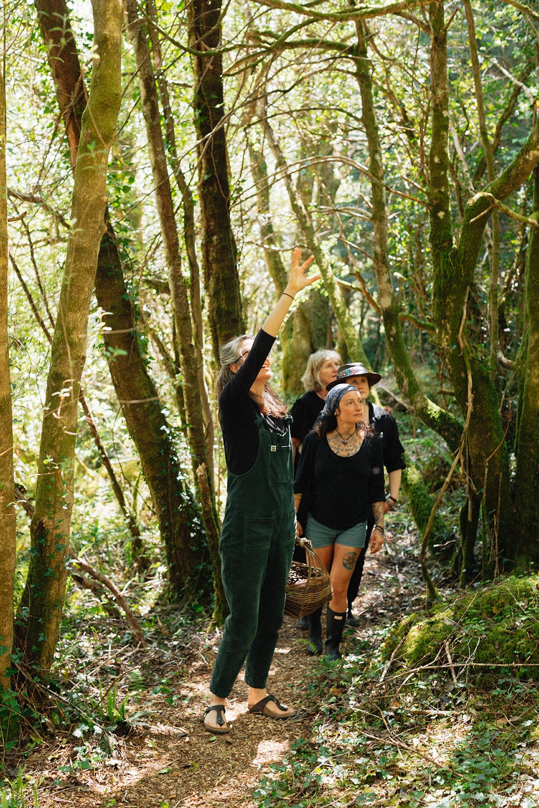 Esk MountainMountain / peak · 994 yd
 Barraboy MountainMountain / peak · 1680 yd
 Molly Gallivan's Cottage & Traditional FarmMuseum · 1.4 mi
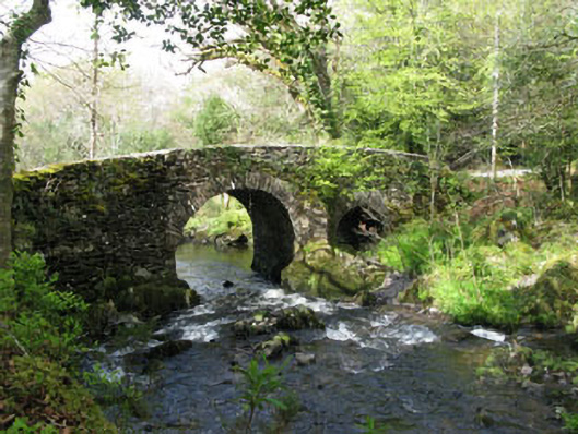 Glengarriff Nature Reservebridge · 1.9 mi
 Glengarriff WoodsWood · 2.1 mi
 Sacred Heart Roman Catholic Churchchurch/chapel · 2.1 mi
 Tasmanian bluegumTasmanian bluegum · 2.1 mi
 Lady Bantry's LookoutViewpoint · 2.2 mi
 Graveyard in CappyaughnaGraveyard · 2.2 mi
 The Blue PoolHeritage attraction · 2.3 mi