What is recorded here
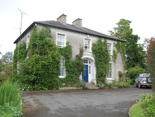
Detached three-bay two-storey former rectory, built c.1880, with two-bay side elevations. Now in use as private dwelling. Hipped slate roof with paired rendered chimneystacks, overhanging eaves supported by carved timber eaves brackets. Roughcast rendered walls with smooth rendered plinth. Square-headed window openings with smooth render surrounds and chamfered sills, having six-over-one timber sash windows with concave horns. Segmental-headed entrance with chamfer-stop arris, recessed panelled timber door with grooved panels and bolection mouldings, multiple pane segmental-headed overlight, and multiple pane half-sidelights. Opens to flight of cut stone steps. Yard to rear accessed through tall gate piers of dressed stone having pyramidal capstones. Outbuildings having lean-to slate roofs, rubble stone walls, and brick-dressed openings. Low screen walls to entrance flanking earlier roughcast rendered circular-profile piers and wrought-iron gates.
A well-composed, middle-size house of symmetrical proportions which retains its original form and character. The house dates from the late nineteenth century but follows the solid three-bay pattern established for rectories in the earlier decades of the nineteenth century with the exterior decoration limited to a good doorcase. It retains many original features including distinctive timber sash windows and the recessed doorway with timber panelled door and sidelights. A modest-scale attendant outbuilding retains its historic appearance and materials, and contributes to the context of the site. The house is set in its own grounds enhanced by an attractive gateway of simple design.
This does not grant access. Most recorded buildings are privately owned; view them only from public ground unless the owner allows entry.
Places near here
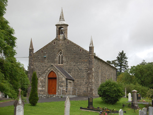 Derrylane Church of Ireland Churchchurch/chapel · 186 yd
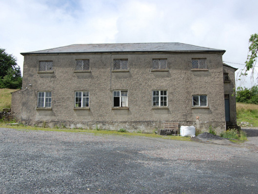 Derrylane Schoolschool · 273 yd
 AghnacorMountain / peak · 745 yd
 Holy WellHoly well · 1456 yd
 CorradarrenMountain / peak · 1586 yd
 IndicatedFairy fort / earthen ringfort · 1.1 mi
 Corraneary WoodWood · 1.7 mi
 Drumgoon Bog WoodForest · 2.1 mi
 Cornafean GFCMemorial · 2.4 mi
 Bawn in CastlepolesBawn · 3.2 mi
 Killeshandra Irish Countrywomen's Association 70th AnniversaryMemorial · 3.3 mi
 Inch IslandIslet · 3.4 mi
Other information
Photo: National Inventory of Architectural Heritage · Website use allowed for educational or private purposes with source credit