What is recorded here
Marked on OS 1836 and 1876 eds. as a tree-covered enclosure. Oval area (int. dims. 42m E-W; 34m N-S) enclosed by an earthen bank with modern external trench. Both have been incorporated into the field boundary. Original entrance not recognisable.
From the National Monuments Service (Archaeological Survey of Ireland) record CV024-043
The monument record does not grant public access. Check the route and ask the landowner before entering private land.
- What survives
- Recorded monument
Places near here
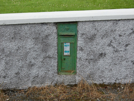 post box312 yd
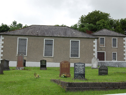 Drumkeeran Presbyterian ChurchChurch/chapel · 326 ydHoly Well917 ydCorrMountain / peak · 1718 ydCornafean gfcMemorial · 1.3 mi
 Killykeen Forest ParkForest · 3.6 mi
 Lough OughterLake and island landscape · 3.7 mi
 Court tomb in GartnanoulCourt tomb · 3.7 mi
 Pedunculate Oak3.8 mi
 Common Lime4.0 mi
 Clogh Oughter CastleCastle, Anglo-Norman masonry castle · 4.9 mi
 Rambling at Farnham EstateVisitor information · 5.8 mi
Pictures: National Inventory of Architectural Heritage; NTF30, Wikimedia Commons · CC BY-SA 4.0; Sarah777 at English Wikipedia, Wikimedia Commons · Public domain; Algirdas at Lithuanian Wikipedia, Wikimedia Commons · Public domain; Alvesgaspar, Wikimedia Commons · CC BY-SA 3.0; Adam Simpson, Geograph · CC BY-SA 2.0; Peter Gerken, Geograph · CC BY-SA 2.0
More archaeology and monuments in County Cavan · All of County Cavan
What do you know about this place?