What is recorded here
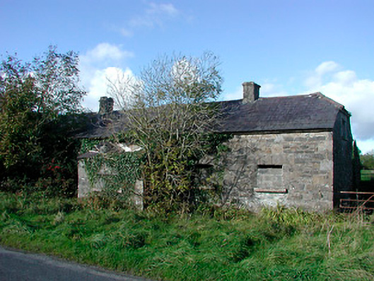
Detached five-bay single-storey former estate worker’s house(s) with attic storey associated with Gaybrook House (demolished), built c.1800, with a single-bay entrance porch to the centre of the main façade (south) and a two-storey elevation to the rear (north). Probably originally built as two semi-detached houses, later amalgamated. Half-hipped natural slate roof with projecting cut stone eaves course and a pair of roughcast rendered chimneystacks. Roughly coursed random rubble walls with roughly dressed quoins to the corners and brick dressings to the openings to the rear (south). Square-headed window openings with cut stone sills, cut stone dressings to south elevation and with the remains of cast-iron lattice windows. Windows to front (south) now mostly blocked. Single-storey lean-to porch to centre of south facade having blocked square-headed former doorcase. Outbuilding to rear (north) Located to the southeast of Mullingar and to the northwest of the site of Gaybrook House.
A well-built former estate worker’s house(s), originally associated with Gaybrook House (now demolished), which retains its early form and character despite being now derelict and out of use. This estate worker’s house was built to a good standard of design and has a robust, solid character. This building was one of a number of similar structures associated with Gaybrook House in the area, most of which have been heavily altered or demolished over the years. Although not completely identical to the estate houses to the southeast (15402638/39), it shares similar characteristics in the form of half-hipped roof, the lean-to porch and the fenestration pattern. Gaybrook House itself, a three-storey block over basement built by Ralph Smyth in 1790, was demolished by the Land Commission c.1960 and this structure now acts as an historical reminder of this once great demesne and of the workers who served it. Although now in poor condition, this building is a worthy addition to the architectural heritage of the area and it adds to the historic nature of the local area.
This does not grant access. Most recorded buildings are privately owned; view them only from public ground unless the owner allows entry.
Places near here
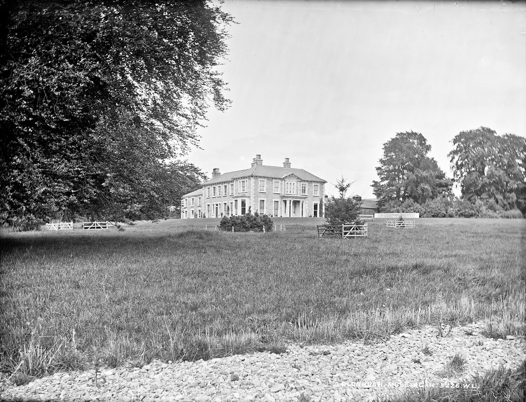 Partially indicatedEnclosure · 199 yd
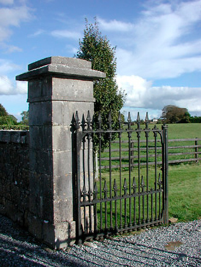 Gaybrook Housedemesne walls/gates/railings · 455 yd
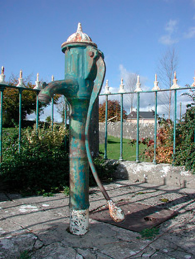 water pumpwater pump · 470 yd
 Fulacht fia in Corbally (fartullagh By.)Fulacht fia · 737 yd
 Castle in RuinsCastle, tower house · 1453 yd
 Bawn in Simonstown (fartullagh By.)Bawn · 1666 yd
 Famine MemorialMemorial · 3.9 mi
 Dysart IslandIsland · 4.1 mi
 Ash IslandIslet · 4.2 mi
 United Nations War MemorialMemorial · 4.9 mi
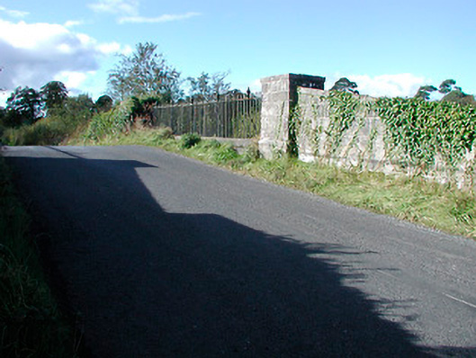 bridgebridge · 820 yd
 Enclosure in Anneville or RathduffEnclosure · 1061 yd
Other information
Photo: National Inventory of Architectural Heritage · Website use allowed for educational or private purposes with source credit