What is recorded here
Hillfort in Windmillhill is a 2.5-hectare oval enclosure on the summit of Windmill Hill in County Dublin. It contains a windmill, a cairn and two ceremonial enclosures, while a ring-ditch lies southeast of the ridge. The fort is barely visible today, but lidar and geophysical survey have traced its curving western edge and wider shape. People may have lived, buried or gathered there before the hill became a quiet landmark.
An irregular oval enclosure which appears to enclose parts of the summit of Windmill Hill. The monument was first reported (Ní Lionáin and Davis, 2014) in 2014 on the basis of lidar survey and analysis and subsequent geophysical analysis (Target, 2018) further clarified its features. The monument is most clearly seen at the W as a poorly defined series of positive and negative linear responses, curving at the W and extending in overall length 215m to the ENE. Additional curved lengths are visible at the ENE edge of the ridge with N and S sides more linear and less obvious. The monument measures 114m N-S in form is probably a hill fort enclosing a total area of 2.5 HA. DU021-038 a windmill, DU021-109---- a cairn, DU021-111---- a ceremonial enclosure with associated enclosure DU021-110---- lie within the confines of the hillfort. To the SE of the hillfort is a ring-ditch DU021-113----.
Compiled by: Margaret Keane
Uploaded on: 15 January 2019
The monument record does not grant public access. Check the route and ask the landowner before entering private land.
- What survives
- Recorded monument
Places near here
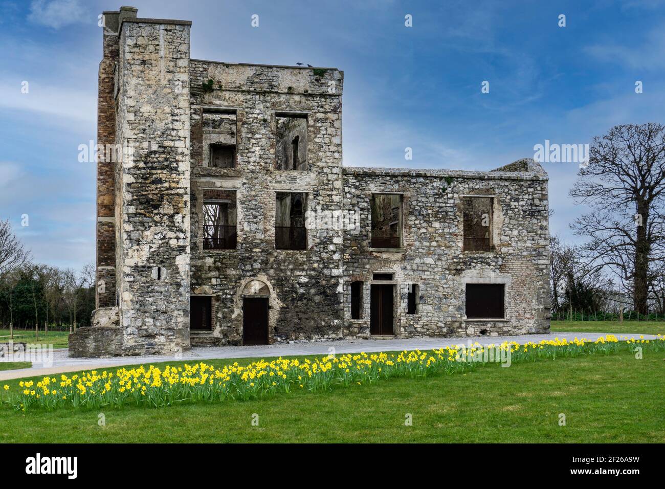 Ceremonial enclosure in WindmillhillCeremonial enclosure · 33 yd
 CairnCairn, burial cairn · 34 yd
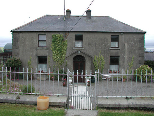 Keatingspark Housefarm house · 861 yd
 Colmanstown Castle (in ruins)Castle, tower house · 917 yd
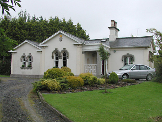 Steelstown Lodgegate lodge · 933 yd
 Athgoe HillMountain / peak · 1.2 mi
 Inniscara GalleryGallery · 1.4 mi
 Rathcoole WoodlandWood · 1.8 mi
 CastleCastle, tower house · 1.9 mi
 Saint Finian's WellSpring · 1.9 mi
 Saggart HillMountain / peak · 2.0 mi
 European YewEuropean Yew · 2.1 mi