
What is recorded here
Enclosure in Williamstown is a circular embanked ring about fifty-five metres across, still standing on a quiet rise in County Louth. It appeared as a fort on an 1835 map and later as a crescent-touched circle, suggesting people shaped the land long before modern roads passed it. Fitzgibbon of the Forest Service brought it back into public notice, reminding us that ordinary fields can hide ancient geometry.
Located on a rise in a gently undulating landscape. This feature is depicted as a circular embanked enclosure (ext. diam. c. 55m) with a central mound on the 1835 edition of the OS 6-inch map where it is described as a ‘Fort’, and as a circular hachured feature (diam. of base c. 45m) with a crescent-shaped feature (dims c. 45m ENE-WSW; c. 15m NNW-SSE) attached to the N on the 1907 edition. It is still extant and was first reported by Barry Fitzgibbon of the Forest Service.
Compiled by: Michael Moore
Date of upload: 4 May 2021
The monument record does not grant public access. Check the route and ask the landowner before entering private land.
- What survives
- Recorded monument
Places near here
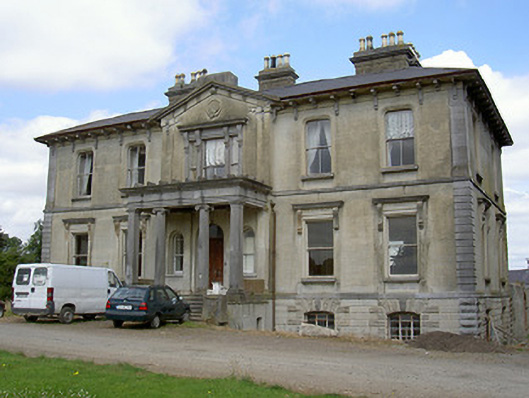 Williamstown Housecountry house · 310 yd
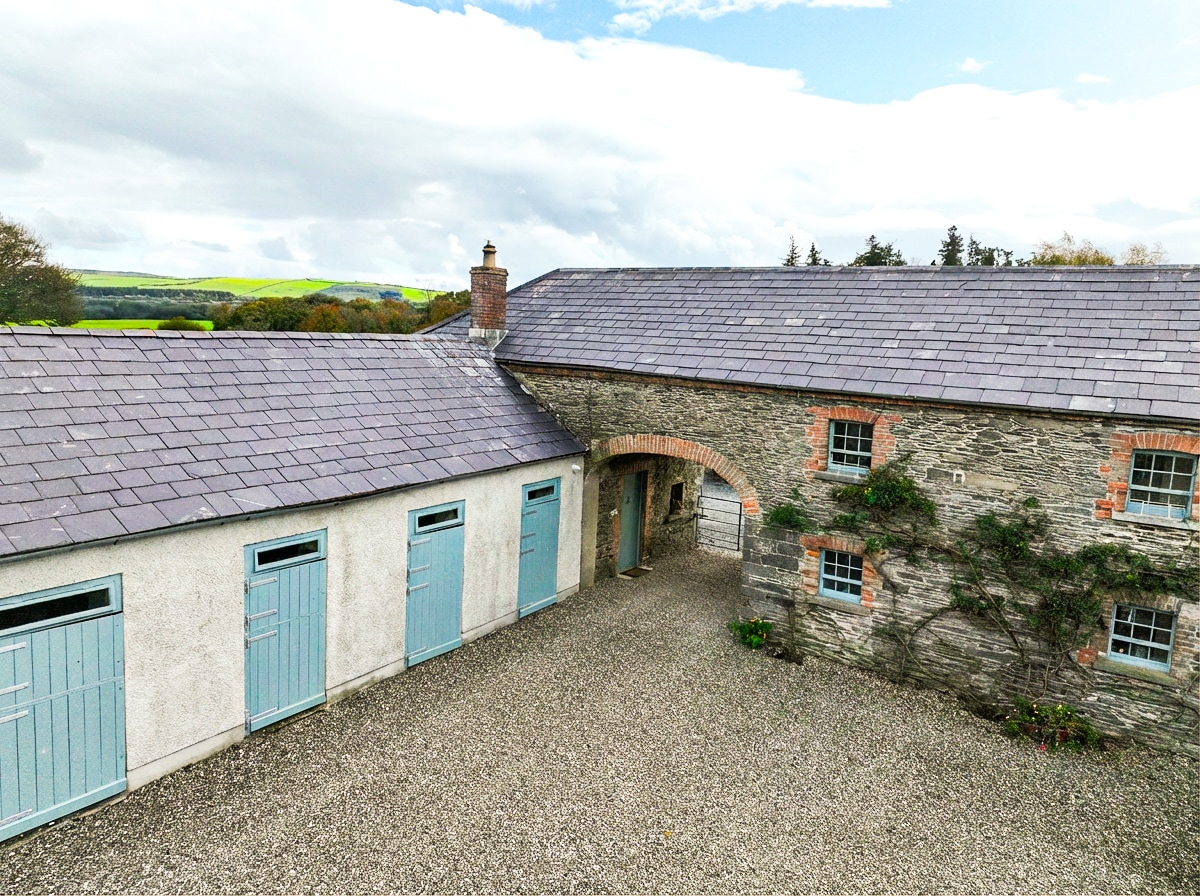 Enclosure in BraganstownEnclosure · 778 yd
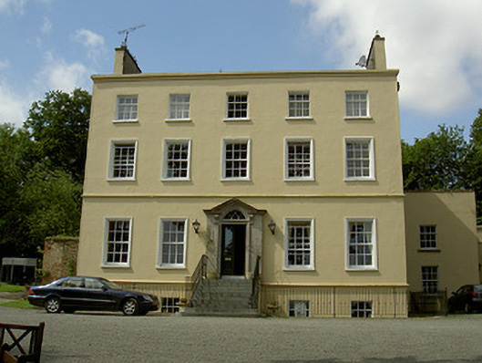 Spencer Houserectory/glebe/vicarage/curate's house · 877 yd
 Abbey (Site of)Religious house, Knights Templars · 934 yd
 Castle (Site of)Castle, unclassified · 1432 yd
 GreenmountCastle, motte and bailey · 1676 yd
 Drummeenagh HillMountain / peak · 1.4 mi
 Viking BoatHeritage attraction · 2.6 mi
 Rabbit BurrowWood · 2.8 mi
 Graveyard in Richardstown (ardee By., Richardstown Par.)Graveyard · 3.0 mi
 Monterey CypressMonterey Cypress · 3.0 mi
 Tullydonnell HillMountain / peak · 3.9 mi
Other information
Photo: Credit not shown in the picture search · Rights wording not checked; contact us if this picture should be removed