What is recorded here
Excavation is an excavation (miscellaneous) in Williamstown (gaultiere By.), County Waterford, Ireland. Linda Hegarty of Headland Archaeology first identified the site during centre-line testing for the Waterford city outer ring road, and Caitríona Gleeson subsequently excavated it. Approximately twenty metres west of the rath’s fosse, the team recovered evidence of prehistoric activity, including post-holes and a possible cremation pit. A post-hole yielded a radiocarbon date suggesting an Early Bronze Age origin, while pottery from the same context is Mid to Late Bronze Age in character.
First identified by Linda Hegarty of Headland Archaeology in centre-line testing (03E1174) for the Waterford city outer ring road (Hegarty 2006, P 509, 1921), and subsequently excavated (031755) by Caitríona Gleeson of Headland Archaeology. Evidence of prehistoric activity in the form of post-holes and a possible cremation pit were recovered c. 20m W of the fosse of rath (WA017-121----). A C14 determination of 1929-1741 cal. BC, suggesting an Early Bronze Age date was recovered from a post-hole, but pottery from the same context is Mid - Late Bronze Age in character. The cremation pit (dims. 0.44 x 0.38m; D 0.24m) with human bone produced a date of 1873-1637 cal. BC, within the Early Bronze Age (Gleeson 2006; 2010, 8-10).
Gleeson, C. (2006) Williamstown. Prehistoric. in I. Bennett (Ed.) Excavations 2003: summary accounts of excavations in Ireland, 516-17, No. 1944. Wordwell. Bray.
Gleeson, C. (2010) A ringfort and nearby area of prehistoric activity, Williamstown, Co. Waterford: report on an archaeological excavation undertaken prior to the construction of the R710 Waterford outer relief road. Decies, No. 66, 1-34.
Hegarty, L. (2006a) Waterford outer ring road: pits, stake-holes, ditches. in I. Bennett (Ed.) Excavations 2003: summary accounts of excavations in Ireland, 509, No. 1921. Wordwell. Bray.
Compiled by: Michael Moore
Date of upload: 19 January 2011
The monument record does not grant public access. Check the route and ask the landowner before entering private land.
- What survives
- Recorded monument
Places near here
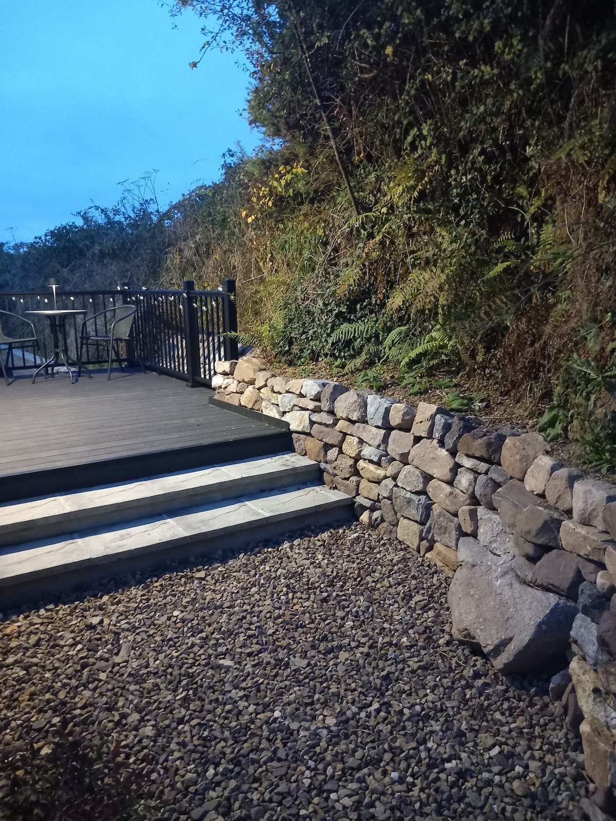 Hearth in KilcohanHearth · 898 yd
 Kill St. Lawrence Church (in ruins)Church · 921 yd
 Hut site in Kill St. LawrenceHut site · 958 yd
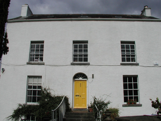 Grange Househouse · 1051 yd
 Sugar Loaf RockMountain / peak · 3.7 mi
 Native Irish Tree TrailWood · 3.7 mi
 Native Woodland Trust:Grace Dieu ReserveWood · 3.9 mi
 Granny CastleCastle, tower house · 4.1 mi
 Cullen Castle (in ruins)Castle, tower house · 4.7 mi
 Mount Congreve GardensHeritage attraction · 5.0 mi
 Waterford & Suir Valley RailwayHeritage attraction · 6.4 mi
 Ballyscanlon HillMountain / peak · 7.1 mi