
What is recorded here
Williamstown holds a forgotten ringfort, perhaps forty-five metres across, with a gap at the south where people entered or fled. The bank vanished beneath grass and time, leaving no ridge for modern hands to touch. Whatever life moved inside that circle has dissolved into Carlow soil, keeping its shape only in a faded map and human imagination.
The following description is derived from the published 'Archaeological Inventory of County Carlow' (Dublin: Stationery Office, 1993). In certain instances the entries have been revised and updated in the light of recent research.
Date of upload/revision: 17 July 2007
Shown on 1908 'OS 6-inch' map as circular area defined by penannular bank, with opening at S (max. diam. c. 45m). No visible surface traces. Possibly a ringfort.
The monument record does not grant public access. Check the route and ask the landowner before entering private land.
- What survives
- Recorded monument
Places near here
 CastleCastle, unclassified · 132 yd
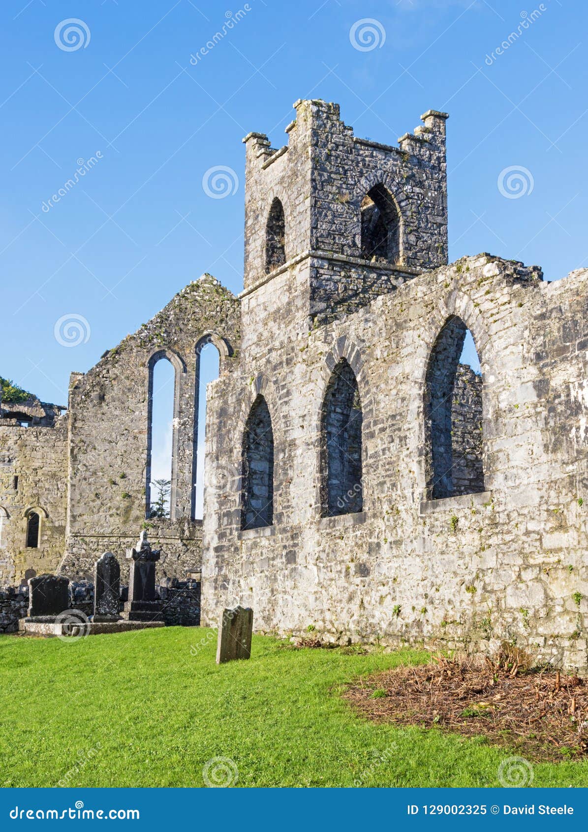 Abbey (Site of)Ecclesiastical site · 752 yd
 Site of CastleCastle, unclassified · 795 yd
 Acaun Church (in ruins), GraveyardChurch · 1149 yd
 Acaun Monastery (in ruins)Religious house, Augustinian friars · 1233 yd
 Lisnavagh Housefarmyard complex · 1342 yd
 Church (in ruins), GraveyardChurch · 3.1 mi
 European BeechEuropean Beech · 3.4 mi
 European ashEuropean ash · 3.8 mi
 Eagle HillMountain / peak · 4.0 mi
 SlievereaghMountain / peak · 7.8 mi
Other information
Photo: Credit not shown in the picture search · Rights wording not checked; contact us if this picture should be removed