What is recorded here
Unlocated well described by Carrigan as 'In the "Rath field", in Thawrla, there is a round rath (LA034-032002-) 33 yds. in diameter, within which the Ordnance Map marks the site of an "Abbey in ruins". The foundations of a building (LA034-032001-), 40 ft. from east to west, by 21 ft. from north to south, are still distinctly traceable inside the ring. The tradition of a church or abbey having ever been here, has died out. There are two ancient draw-wells close to the rath; one is in the same field and is called the Closh; the other is in the next field to the south, beside the fence seperating Thawlra farm from the Co. Kilkenny, and is called Lughany (LA034-050).' (Carrigan 1905, vol. 2, 233)
Compiled by: Caimin O'Brien
Date of upload: 17 December 2007
The monument record does not grant public access. Check the route and ask the landowner before entering private land.
- What survives
- Recorded monument
Places near here
 Enclosure in ParknahownEnclosure · 847 yd
 Enclosure in Oldtown (clanmallagh By.)Enclosure · 891 yd
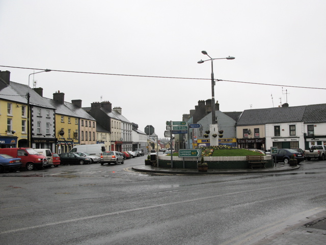 RathkilmurryChurch · 901 yd
 Abbey (in ruins)Religious house, unclassified · 1255 yd
 Bawn in AghmacartBawn · 1342 yd
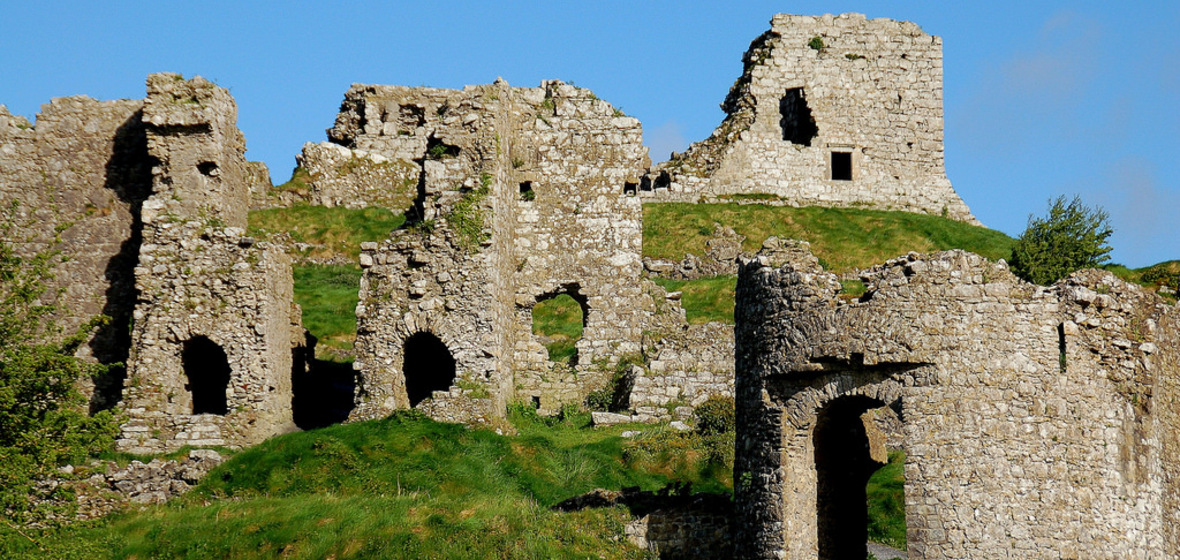 Castle (in Ruins)Castle, tower house · 1353 yd
 Street fieldArchaeological place · 1.5 mi
 Big WoodWood · 3.2 mi
 Cnoc SeanrathaMemorial · 3.4 mi
 DelaneyMemorial · 4.4 mi
 Clomantagh HillMountain / peak · 4.7 mi
 Anker's IslandIsland · 6.4 mi