What is recorded here
Weir stands on the northern Shannon bank beside Graigue Island, marking a post alignment that cut through estuarine clay before the water took it back. The structure measured eight metres and faced north-south, suggesting human hands shaped the tide rather than surrendering to it. Its loss reminds the river that memory requires constant defence against forgetting.
On the N bank of the Shannon estuary adjacent to Graigue Island. Described by O’Sullivan (2001, 304) as a possibly post-medieval ‘post alignment, oriented N-S, 8m long, on level estuarine clays at low water, c. 250m ENE of Graigue Island. July 1994.' (O'Sullivan 2001, 208, 304, Graigue Island 1)
Compiled by: Mary Tunney
Date of upload: 20 August 2019
The monument record does not grant public access. Check the route and ask the landowner before entering private land.
- What survives
- Recorded monument
Places near here
 Habitation site in Newtown (pubblebrien By.)Habitation site · 1128 yd
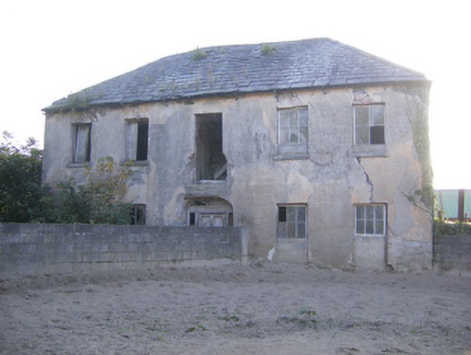 Churchfield Dairyhouse · 1320 yd
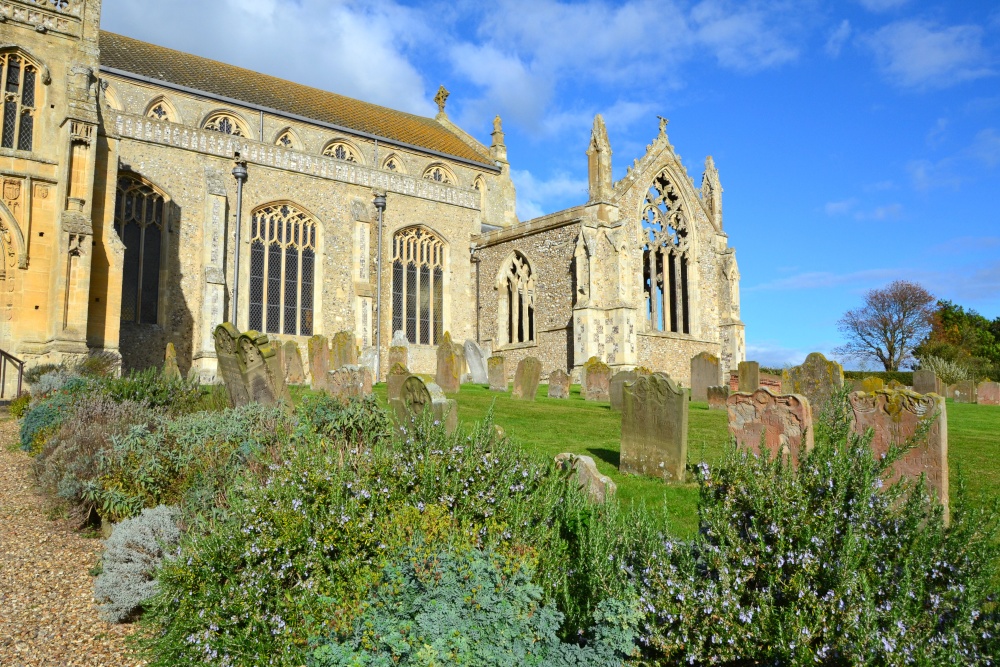 t. Margarets Church (in ruins)Church · 1401 yd
 Friary (Site of)Religious house, unclassified · 1.1 mi
 Castle Donnell (Site of)Castle, unclassified · 1.2 mi
 Sailors HaggardMemorial · 1.3 mi
 Cratloekeel CastleCastle · 1.7 mi
 Grass IslandIslet · 1.9 mi
 Muckinish PointHeadland · 1.9 mi
 Maiden RockNamed rock · 2.2 mi
 St James's WellSpring · 2.2 mi
 Bunratty Castle and Folk ParkHeritage attraction · 2.5 mi