What is recorded here
Standing stone in Waterville is a roughly rectangular block 1.75m high in a marshy area 120m north of the river Currane. It is not marked on OS maps, but traces of packing stones remain around its base. The stone may have guided people through wet ground or marked a boundary forgotten by later maps.
This site, not marked on the OS maps, is located in a marshy area about 120m N of the river Currane. Of regular elevation, it is a roughly rectangular sectioned block that stands 1.75m high and measures .4m x .13m at base; E-W. Traces of packing stones are visible around its base.
The above description is derived from A. O'Sullivan and J. Sheehan (compilers), 'The Iveragh peninsula: an archaeological survey of South Kerry'. Cork University Press (1996), no. 221. In certain instances the entries have been revised and updated in the light of recent research.
Date of upload: 28 July 2013
Likely dating to the Neolithic or Bronze Age, this standing stone may have served a ritual or territorial function. No specific folklore or inscriptions are recorded, though its placement near the river suggests a possible ceremonial or symbolic relationship with the landscape.
The monument record does not grant public access. Check the route and ask the landowner before entering private land.
- What survives
- Recorded monument
Places near here
 Enclosure in WatervilleEnclosure · 342 yd
 Indicated (1846).Enclosure · 355 yd
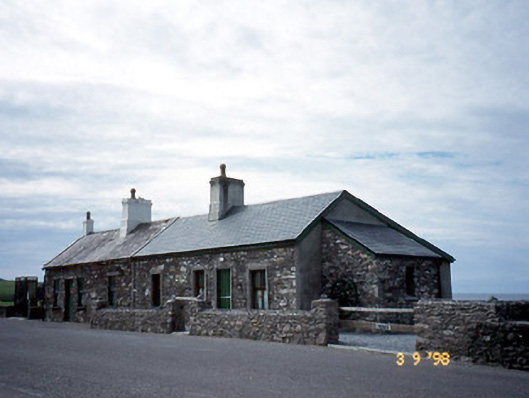 coastguard stationcoastguard station · 533 yd
 T. C. Millerick MemorialMemorial · 544 yd
 Waterville PromenadeWalking route · 559 yd
 Butler MemorialMemorial · 611 yd
 Butler Memorial Fountainmonument · 611 yd
 CastleCastle, tower house · 1342 yd
 Inny StrandBeach / strand · 1.9 mi
 An Bheann MhórMountain / peak · 2.6 mi
 Bá na ScealgBay · 2.6 mi
 Reenrow BeachBeach / strand · 2.7 mi