What is recorded here
Site reported post inventory fieldwork, site identified by Patrick Bracken who reported the mill to the NMI on the 29/01/1996. Site possibly identified as mill referred to in the civil survey 1654-56 (Simington 1931, vol. 1, 67) and consists of a stone wall (T 0.52m; H 2.36m) of a destroyed building part of which is being used as a cattle crush with possible stone lined mill race to S of building.
The above description is derived from 'The Archaeological Inventory of County Tipperary. Vol. 1 - North Tipperary' compiled by Jean Farrelly and Caimin O'Brien (Dublin: Stationery Office, 2002). In certain instances the entries have been revised and updated in the light of recent research.
Date of upload/revision: 22 September 2008
The monument record does not grant public access. Check the route and ask the landowner before entering private land.
- What survives
- Recorded monument
Places near here
 Horse and JockeyVisitor information · 823 yd
 Liskeveen Housecountry house · 913 yd
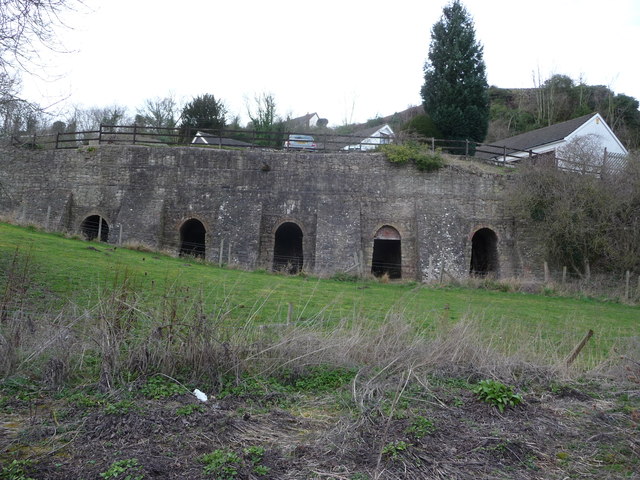 Enclosure in LiskeveenEnclosure · 1050 yd
 Liskeveen Castle (in ruins)Castle, tower house · 1063 yd
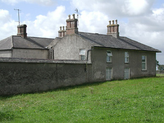 Kevinsfort Househouse · 1464 yd
 Enclosure in Curraheen (ballymurreen Par.)Enclosure · 1571 yd
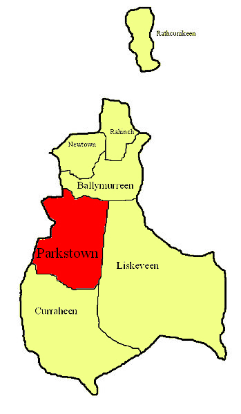 Parkstown Castle (site of)Castle, unclassified · 1574 yd
 Gift Horse GalleryGallery · 1.2 mi
 Gobban Saer's GraveArchaeological place · 1.3 mi
 Sweet ChestnutSweet Chestnut · 1.9 mi
 Derrynaflan TrailHeritage attraction · 2.0 mi
 European ashEuropean ash · 2.9 mi