What is recorded here
According to the Civil Survey (1654-6) 'there are on the lands …in Dondroma…one small water Mill' which in 1640 was under the proprietorship of 'Phillipp O Dwyer of Dondroma Esqr.' (Simington 1934, vol. 2, 87-8). This mill is also indicated on the Down Survey maps (1655-6). This water mill is unlocated within the townland of Dundrum.
Compiled by: Jean Farrelly
Date of upload: 26 August 2011
The monument record does not grant public access. Check the route and ask the landowner before entering private land.
- What survives
- Recorded monument
Places near here
 Dundrum Saw Millsmiller's house · 400 yd
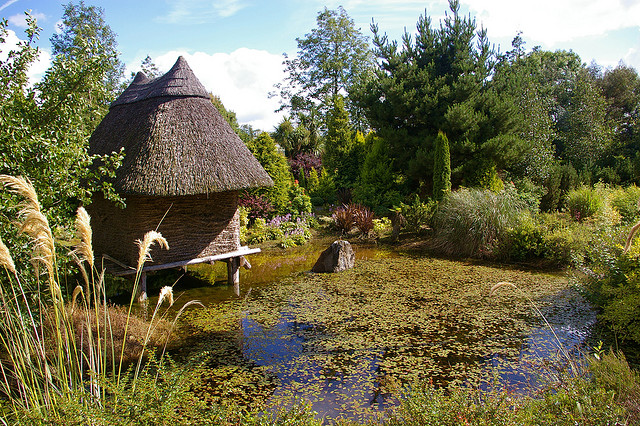 Enclosure in DundrumEnclosure · 419 yd
 Track of Cromwells RoadRoad, road/trackway · 768 yd
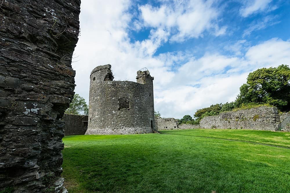 Site of CastleCastle, unclassified · 1233 yd
 Enclosure in Ballintemple (ballintemple Par.)Enclosure · 1591 yd
 Dundrum Woods (Marl Bog)Forest · 1612 yd
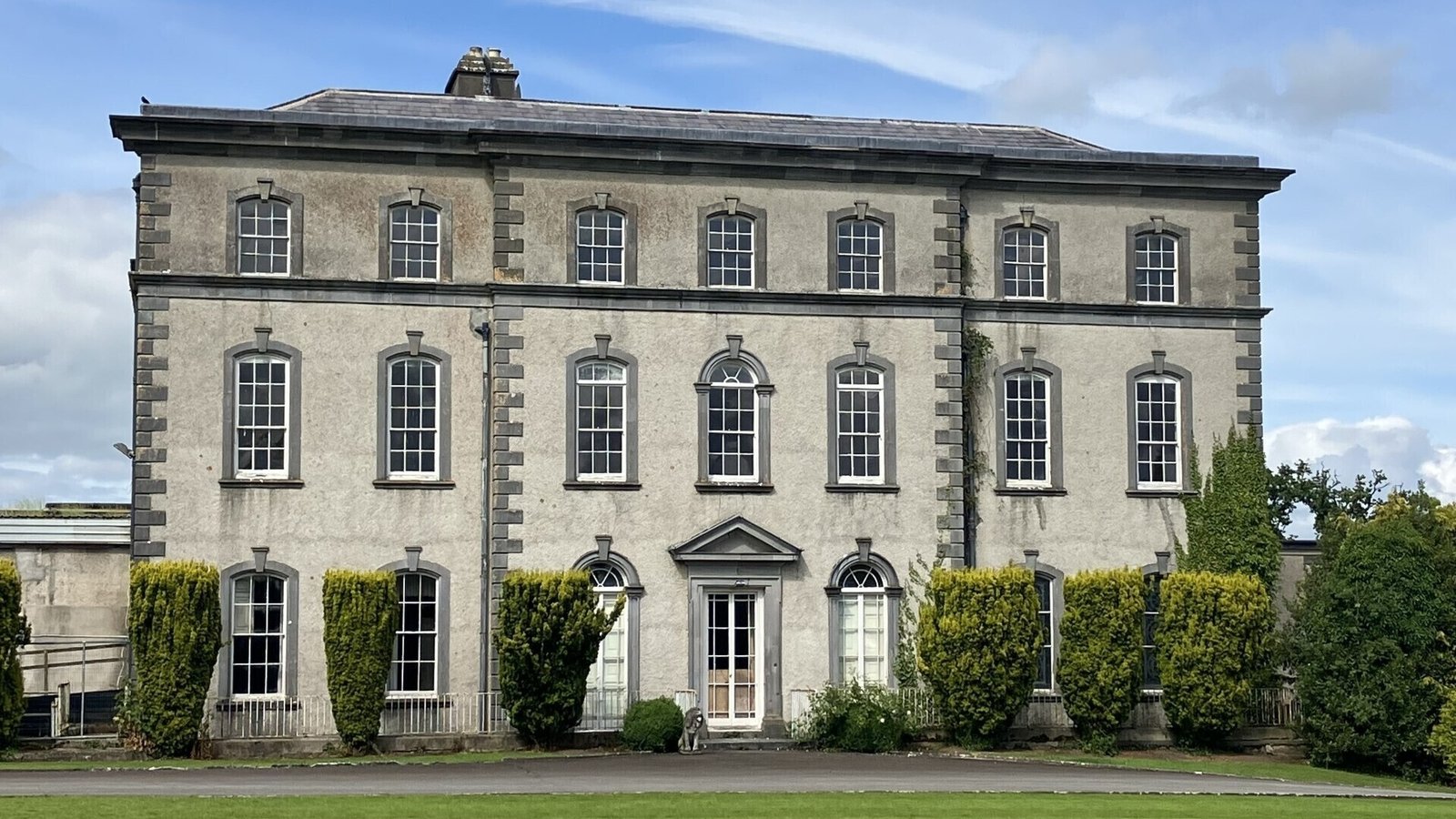 IndicatedCastle, ringwork · 1652 yd
 Woodcock GroveWood · 1658 yd
 Athassel PrioryHeritage attraction · 5.3 mi
 Soloheadbeg Ambushambush · 5.3 mi
 I.R.A. 3rd. Tipperary Brigade MemorialMemorial · 6.5 mi
 GortnageraghMountain / peak · 8.7 mi