
What is recorded here
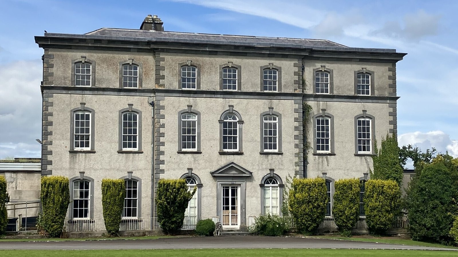
In improved pasture on a N-facing slope. The road is not visible at ground level. It is depicted on the 1840 edition OS 6-inch map as a linear feature (long-axis c. 350m N-S) defined by a double dotted line (Wth c. 10-12m) and named 'Track of Cromwell's Road'. The road may have turned at a right angle towards Ballintemple church and graveyard (TS059-032---- and TS059-032001-) as suggested by an alignment of trees on both map editions. According to local information, the road extended from Dundrum House to Ballintemple church and graveyard.
Compiled by: Jean Farrelly
Date of upload: 26 August 2011
The monument record does not grant public access. Check the route and ask the landowner before entering private land.
- What survives
- Recorded monument
Places near here
 Church in Ballintemple (ballintemple Par.),dundrumChurch · 406 yd
 Dundrum Saw Millsmiller's house · 413 yd
 Enclosure in Ballintemple (ballintemple Par.)Enclosure · 831 yd
 Enclosure in DundrumEnclosure · 856 yd
 IndicatedCastle, ringwork · 1140 yd
 Dundrum Woods (Marl Bog)Forest · 1.0 mi
 Site of CastleCastle, unclassified · 1.3 mi
 Woodcock GroveWood · 1.3 mi
 Athassel PrioryHeritage attraction · 5.0 mi
 Soloheadbeg Ambushambush · 5.1 mi
 Soloheadbeg Ambush SiteMemorial · 5.4 mi
 I.R.A. 3rd. Tipperary Brigade MemorialMemorial · 6.1 mi
Other information
Photo: Credit not shown in the picture search · Rights wording not checked; contact us if this picture should be removed