What is recorded here
On a slight rise overlooking a S-N stream c. 45m to the W and the seashore of Donegal Bay c. 45m to the N. This is a grass-covered circular mound (diam. 26m; H 0.8-1.2m) defined by a flat- bottomed fosse (Wth 4-6m) and an outer earth and stone bank (Wth 6-8m; H over fosse 0.7- 1m; ext. H 0.5m). There is no identifiable original entrance. The outer bank is truncated slightly by a NNW-SSE field wall at W, and slightly clipped by field banks at S and E (max. ext. dim. 51.5m N-S).
See the attached aerial view taken from the E
The above description is derived from 'The Archaeological Inventory of County Leitrim' compiled by Michael J. Moore (Dublin: Stationery Office, 2003). In certain instances the entries have been revised and updated in the light of recent research.
Date of upload: 23 September 2008
Neolithic passage tomb, c. 3500–2500 BCE; its location overlooking a stream and the seashore suggests ritual or ceremonial significance related to water and landscape features common in early Irish funerary practices.
The monument record does not grant public access. Check the route and ask the landowner before entering private land.
- What survives
- Recorded monument
Places near here
 LaghtaFairy fort / stone ringfort · 907 yd
 Giant's GraveArchaeological place · 954 yd
 IndicatedFairy fort / stone ringfort · 1032 yd
 Saint Patrick's Catholic Churchchurch/chapel · 1.0 mi
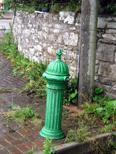 water pumpwater pump · 1.3 mi
 Bawn in DuncarbryBawn · 1.3 mi
 Bundrowes Castle (Site of)Castle, unclassified · 1.7 mi
 BundoranOfficial bathing water · 3.5 mi
 Creevykeel Court TombNeolithic court tomb · 3.5 mi
 assassination of Louis Mountbatten, 1st Earl Mountbatten of Burmaassassination · 3.5 mi
 Unbaptised Children MonumentMemorial · 3.9 mi
 Wishing ChairHeritage attraction · 3.9 mi