
What is recorded here
Partially hachured is a fairy fort or earthen ringfort in Walshestown North (part Of), County Westmeath, Ireland. The 1913 edition of the Ordnance Survey map depicts the site as a semi-circular earthwork measuring 33 metres on a north-northwest to south-southeast axis, which is cut by a public road across the southwest sector. A 1972 description records the monument as partially levelled, with a steep earthen bank best preserved from northwest through north to northeast, while the original entrance is not recognisable. The interior features a slight slope facing east-northeast and traces of cultivation ridges running east-northeast to west-southwest.
Situated on the summit of a prominent steep-sided hill, in pasture with good views of Lough Owel to N, E and S. Depicted on the 1913 ed. OS 25-inch map as a semi-circular shaped earthwork (dims. 33m NW-SE) which is cut by the public road across the SW sector. Monument described in 1972 as a partially levelled earthwork enclosed by a steep earthen bank and traces of a fosse from NW-N-E-S only. The monument has been levelled from S-W-NW where it has been cut by the public road running NW-SE. The bank is best preserved from NW-N-NE, is very slight from NE-E-ESE and has been levelled from ESE-SE-S. The remains of a wide fosse are visible from NW-N-NNE and with traces at ENE. The original entrance is not recognisable. The interior has a slight ENE-facing slope and there are traces of cultivation ridges running ENE-WSW. Monument is visible today as the arc of a tree-lined earthwork on Digital Globe aerial photography.
Compiled by: Alison McQueen, Vera Rahilly and Caimin O’Brien
Date of upload: 05 June 2019
The monument record does not grant public access. Check the route and ask the landowner before entering private land.
- What survives
- Recorded monument
Places near here
 Enclosure in Walshestown SouthEnclosure · 1357 yd
 CastlemitchelCastle, unclassified · 1412 yd
 TullaghanCastle, tower house · 1668 yd
 Strand Househouse · 1705 yd
 OutlinedFairy fort / earthen ringfort · 1.0 mi
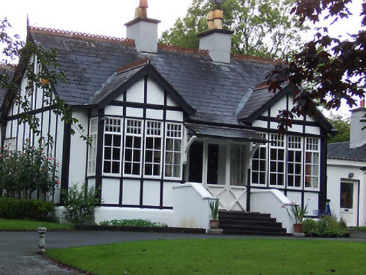 Rathgowanhouse · 1.1 mi
 United Nations War MemorialMemorial · 1.5 mi
 Srudarra IslandIslet · 1.6 mi
 Lady's IslandWood · 1.6 mi
 Saint Brigid's WellSpring · 1.6 mi
 Mullingar Cathedral MuseumMuseum · 1.8 mi
 Famine MemorialMemorial · 2.0 mi
Other information
Photo: Credit not shown in the picture search · Rights wording not checked; contact us if this picture should be removed