What is recorded here
Veagh holds a standing stone on the side of an NE-SW running ridge in County Donegal, Ireland. It resists easy identification because no trace appears on the 1st edition of the OS 6-inch map. That absence does not diminish the stone; it suggests human memory outlived official mapping. People may have passed it, marked it, forgotten it or hidden it from strangers. The ridge still keeps its company, waiting for someone willing to see what surveys missed.
There is no trace of the 'Standing Stone' marked on the 1st edition of the OS 6-inch map. Situated on the side of an NE-SW running ridge.
The above description was derived from the 'Archaeological Survey of County Donegal. A description of the field antiquities of the County from the Mesolithic Period to the 17th century.' Compiled by: Brian Lacey with Eamon Cody, Claire Cotter, Judy Cuppage, Noel Dunne, Vincent Hurley, Celie O'Rahilly, Paul Walsh and Seán Ó Nualláin (Lifford: Donegal County Council, 1983). In certain instances the entries have been revised and updated.
Date of upload: 22 September 2008
This remains an important historical record, but the official description says the monument is no longer visible or has been destroyed. The monument record does not grant public access. Check the route and ask the landowner before entering private land.
- What survives
- No visible remains or recorded as destroyed
Places near here
 Maylin Cropmark EnclosureEnclosure · 714 yd
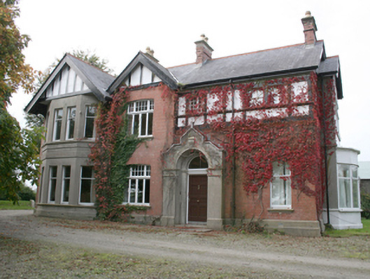 Drumbarnethouse · 1242 yd
 Enclosure in Moneymore (newtowncunningham Ed)Enclosure · 1.0 mi
 Balleeghan FriaryReligious house, Franciscan Third Order Regular · 1.2 mi
 RowanRowan · 2.9 mi
 European YewEuropean Yew · 2.9 mi
 Fort Stewart in RuinsBawn · 3.7 mi
 Burt CastleCastle, tower house · 4.3 mi
 Tullyaughnish Old Church GraveyardGraveyard · 5.0 mi
 Mongorry HillMountain / peak · 6.0 mi
 Mullanadee ShoreBeach / strand · 6.5 mi
 Grianán of AileachFairy fort / stone ringfort · 6.8 mi