What is recorded here
A small vessel containing traces of bone and a gold bracelet was found under a cairn in a 'Danish fort' in Lisnakill parish c. 1725 (Smith 1746, 98; Lewis 1837, vol. 2, 286; Herity 1969, 10-11; Waddell 1990, 145). The precise location is unknown, but it may have been associated with the located cist (WA017-122----). On the other hand the cairn was in close proximity to a standing stone, which may be that at Whitfield North (WA017-006-----).
Herity, M. (1969) Early finds of Irish antiquities: from the minute books of the Society of Antiquaries of London, Antiq. Jour. 49, 1-21.
Lewis, S. (1837) A topographical dictionary of Ireland. 2 vols. Lewis and Co. London.
Smith, C. (1746) The history of the town and county of Waterford. W. Wilson. Dublin.
Waddell, J. (1990) The Bronze Age burials of Ireland. Galway University Press.
The above description is derived from the published 'Archaeological Inventory of County Waterford' (Dublin: Stationery Office, 1999). In certain instances the entries have been revised and updated in the light of recent research.
Compiled by: Michael Moore
Date of upload/revision: 19 January 2011
Bronze Age urn burial; associated with a cairn and Danish fort. Significance lies in the presence of a gold bracelet, indicating high-status burial or cultural interaction in the early medieval period.
The monument record does not grant public access. Check the route and ask the landowner before entering private land.
- What survives
- Recorded monument
Places near here
 Chruch (in ruins)Church · 470 yd
 The Harp StoneArchaeological place · 1146 yd
 Mote or TumulusCastle, motte · 1236 yd
 IndicatedBawn · 1259 yd
 DolmenPortal tomb · 1265 yd
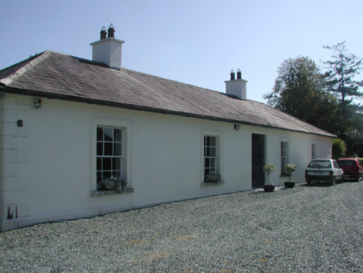 Pembrokestown Housecountry house · 1538 yd
 Mount Congreve GardensHeritage attraction · 1.7 mi
 Monterey CypressMonterey Cypress · 1.7 mi
 Sweet micheliaSweet michelia · 1.8 mi
 Sugar Loaf RockMountain / peak · 1.8 mi
 Waterford & Suir Valley RailwayHeritage attraction · 2.5 mi
 Ballyscanlon HillMountain / peak · 3.4 mi