
What is recorded here
The Harp Stone is recorded as a archaeological place in County Waterford. Its open map record supplies this location and any linked names or public references.
Places near here
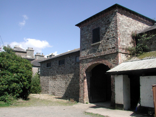 Whitfield Houseoutbuilding · 849 yd
 Embanked enclosureFairy fort / ringfort · 874 yd
 Water millWater mill, vertical-wheeled · 1290 yd
 Fulacht fia in KilloteranFulacht fia · 1348 yd
 Site of CastleCastle, unclassified · 1.0 mi
 Mount Congreve GardensHeritage attraction · 1.1 mi
 Monterey CypressMonterey Cypress · 1.2 mi
 Sweet micheliaSweet michelia · 1.2 mi
 Mote or TumulusCastle, motte · 1.3 mi
 Sugar Loaf RockMountain / peak · 1.9 mi
 Waterford & Suir Valley RailwayHeritage attraction · 2.2 mi
 Ballyscanlon HillMountain / peak · 4.0 mi
Other information
Photo: Credit not shown in the picture search · Rights wording not checked; contact us if this picture should be removed