
What is recorded here
Situated in the valley of the S-N Ballymoat stream with the canalised stream c. 100m to the E. First identified as Site 4 at Adamstown, in centre-line testing (03E0406) for the N 25 Waterford City by-pass (Russell 2006e), and excavated with the same licence during 2004 as Killoteran 9 (Murphy 2007) and 2005 (Russell (2008b).
A leat (Wth 3m) led to a semicircular mill-pond (diam. c. 7m) immediately SW of the mill. Two dams (L c. 5m) set 3.5m apart and consisting of oak planks set longditudinally in a slotted oak base-plate controlled the water, which could be released through sluices in the dams. The wheel housing (dims. 2m x 1.5m) was lined with planks as was its floor. The mill-house was on the bank to the NW, and two of its walls were identified. A small timber and wattle-lined tail-race (Wth 2m) was also identified. Fragments of the mill mechanism, including paddles from the wheel, and discarded millstones made of a local sandstone were recovered. Two timbers produce C14 dates of AD 410-650 and AD 340-600. (Russell el al. 2011)
Murphy, D. (2007) Killoteran 9. Vertical watermill. in I. Bennett (Ed.) Excavations 2004: summary accounts of excavations in Ireland, 426-7, No. 1681. Wordwell. Bray.
Russell, I. (2006e) Site 4, Adamstown. Timber structure. in I. Bennett (Ed.) Excavations 2003: summary accounts of excavations in Ireland, 491-2, No. 1855. Wordwell. Bray.
Russell, I. (2008b) Killoteran 9. Vertical watermill. in I. Bennett (Ed.) Excavations 2005: summary accounts of excavations in Ireland, 364, No. 1496. Wordwell. Dublin.
Russell, I.; Moore, C.; O’Sullivan, A. and V. Ginn (2011) Killoteran 9, Co. Waterford. in J. Eogan and E. Shee-Twohig (2011) Cois tSiúire – nine thousand years of human activity in the lower Suir valley. Archaeological excavations on the N25 Waterford city bypass, vol. 1, 37-48. NRA road scheme: Monograph 8, Dublin
Compiled by: Michael Moore
Date of upload: 19 January 2011
The monument record does not grant public access. Check the route and ask the landowner before entering private land.
- What survives
- Recorded monument
Places near here
 RoadRoad, class 3 togher · 86 yd
 Fulacht fia in KilloteranFulacht fia · 151 yd
 Mount Congrevegates/railings/walls · 278 yd
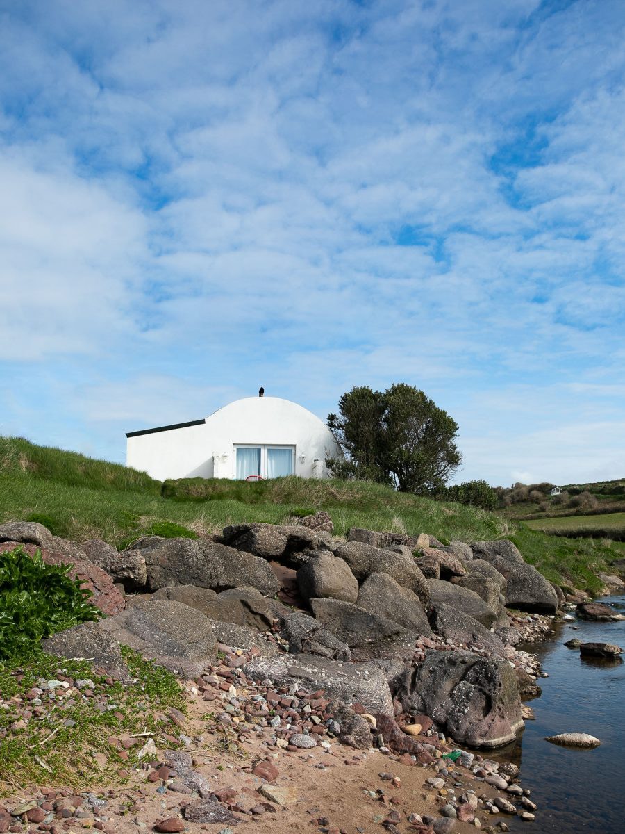 Hut site in Adamstown (middlethird By., Kilmeadan Par.)Hut site · 627 yd
 Mount Congreve GardensHeritage attraction · 672 yd
 Monterey CypressMonterey Cypress · 978 yd
 Sweet micheliaSweet michelia · 1084 yd
 Site of CastleCastle, unclassified · 1.1 mi
 CastleCastle, unclassified · 1.2 mi
 Waterford & Suir Valley RailwayHeritage attraction · 1.7 mi
 Sugar Loaf RockMountain / peak · 2.4 mi
 Ballyscanlon HillMountain / peak · 4.7 mi
Other information
Photo: Credit not shown in the picture search · Rights wording not checked; contact us if this picture should be removed